Caracal Eco Route
Namaqua National Park · Northern Cape 4x4 route
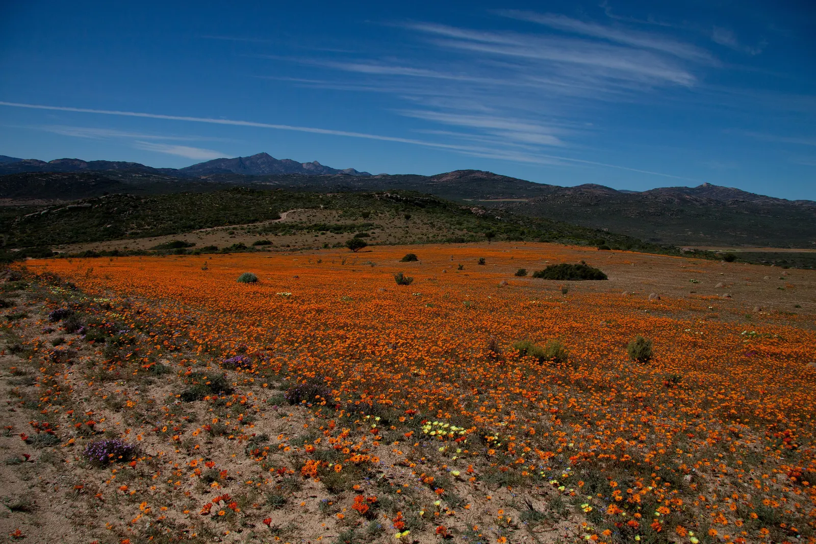

A self-drive route from the Skilpad section of Namaqua National Park down the Soebatsfontein pass, across the Namaqua flatlands and onto the coast, ending at the Groen River mouth. SANParks rates it easy to moderate, with sandy coastal sections and some steep parts with dongas. The full route is 176 to 200 km depending on the tracks chosen, and the route booklet sold at the office is needed to follow it. Sections may close in the wet and flower season, and driving on beaches or closed tracks is not allowed.
Along the way
Before you drive it
- Check with the operator for closures after rain. Conditions change faster than any website.
- Tell someone your route and your expected time out.
- Carry recovery gear you know how to use, and rated recovery points on the vehicle. See our recovery gear spec comparison.