SandtracksSouth Africa's 4x4, camping & overland guide

Image & map credits

Every photo on this site is a real photograph used under its licence. None are AI-generated. Maps are drawn from open data.

Maps

Photos
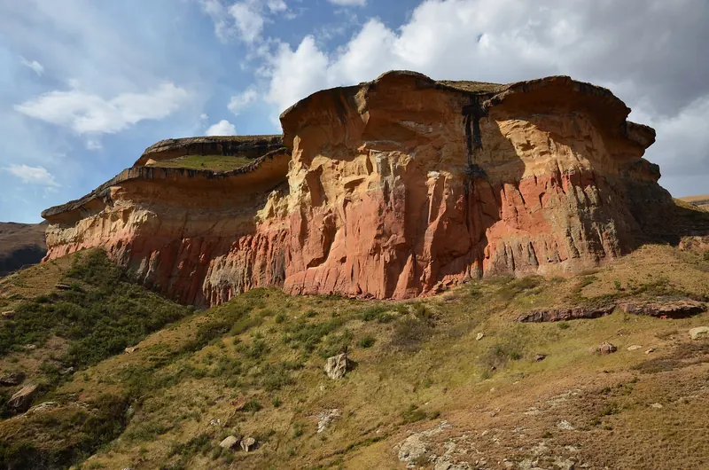
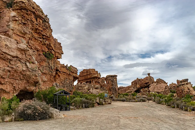
Sandstone rock formations and a gravel track under a cloudy sky in the Cederberg
Cederberg Wilderness Area, Western CapeNina R from Africa · Wikimedia CommonsCC BY 2.0 · resized and cropped, converted to WebP
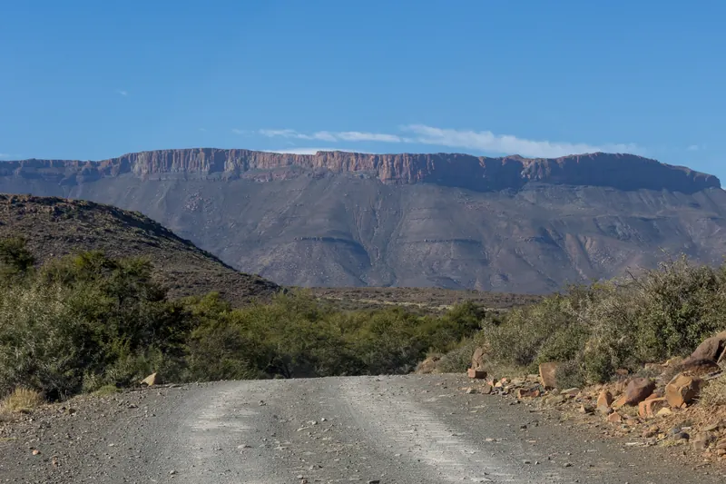
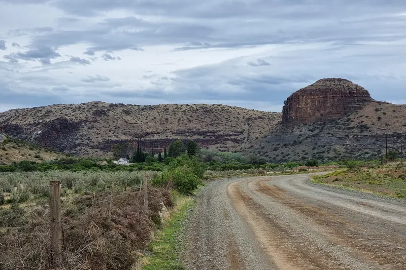
Gravel road winding through scrub towards the flat-topped Nuweveld Mountains
Nuweveld Mountains from Karoo National Park, Western CapeMike Peel (www.mikepeel.net) · Wikimedia CommonsCC BY-SA 4.0 · resized and cropped, converted to WebP
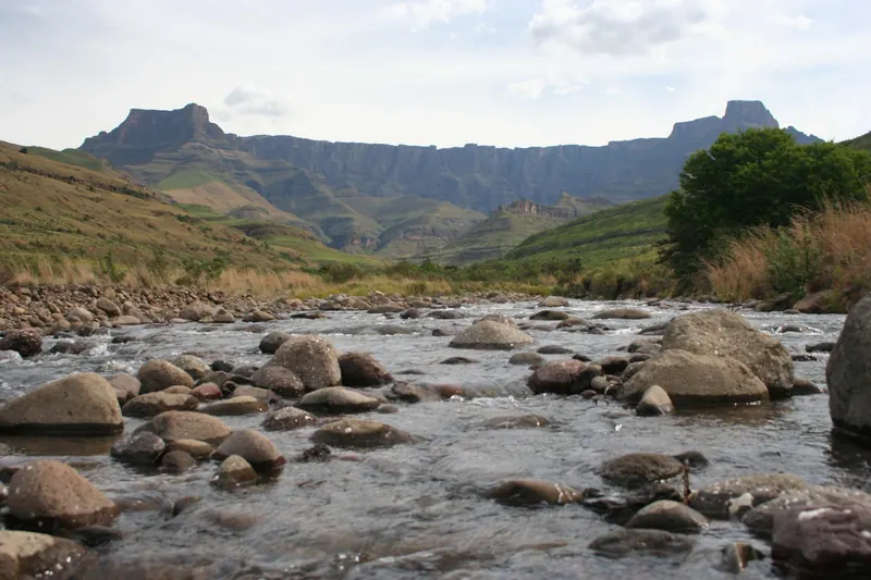
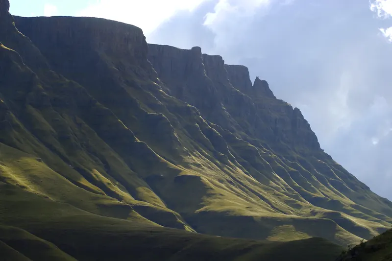
The Drakensberg Amphitheatre wall seen beyond a rocky river
Amphitheatre from the upper Tugela River, KwaZulu-NatalRudolph Botha (User:Bothar) · Wikimedia CommonsPublic domain · resized and cropped, converted to WebP
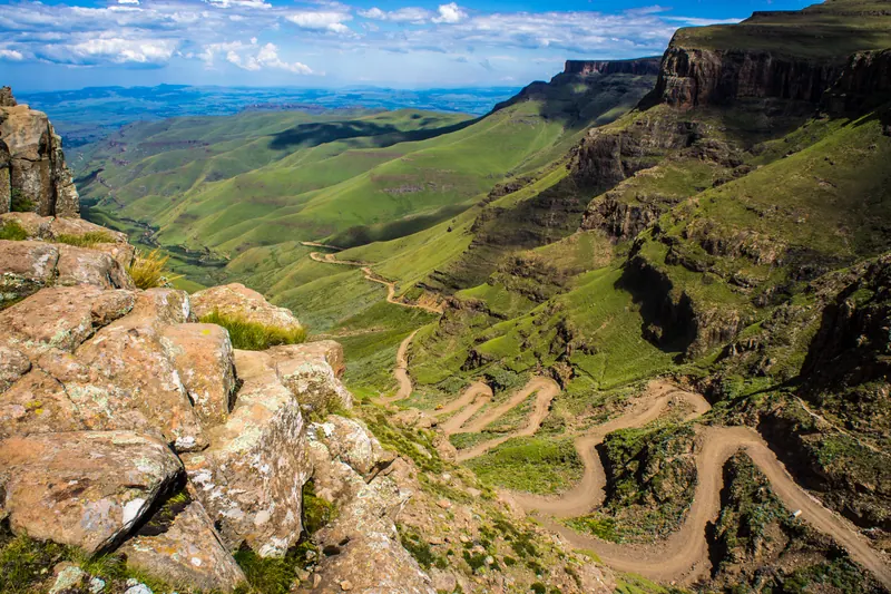
The Sani Pass road zig-zagging down green Drakensberg slopes, seen from the escarpment rim
Sani Pass road from the escarpment rim near the South Africa/Lesotho borderVaiz Ha · Wikimedia CommonsCC BY 2.0 · resized and cropped, converted to WebP
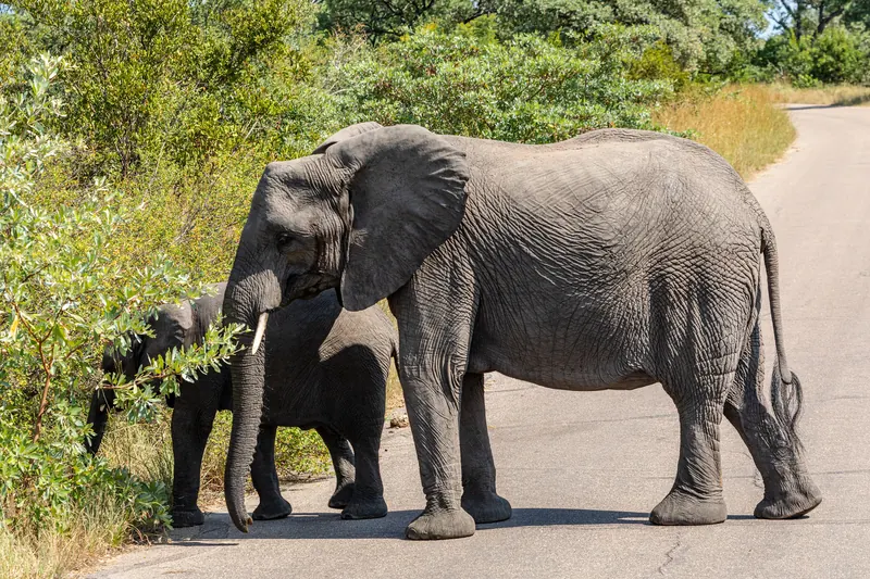
Two elephants, an adult and a calf, crossing a tarred road in the bush
Elephants on a road, Kruger National Park, MpumalangaDietmar Rabich · Wikimedia CommonsCC BY-SA 4.0 · resized and cropped, converted to WebP
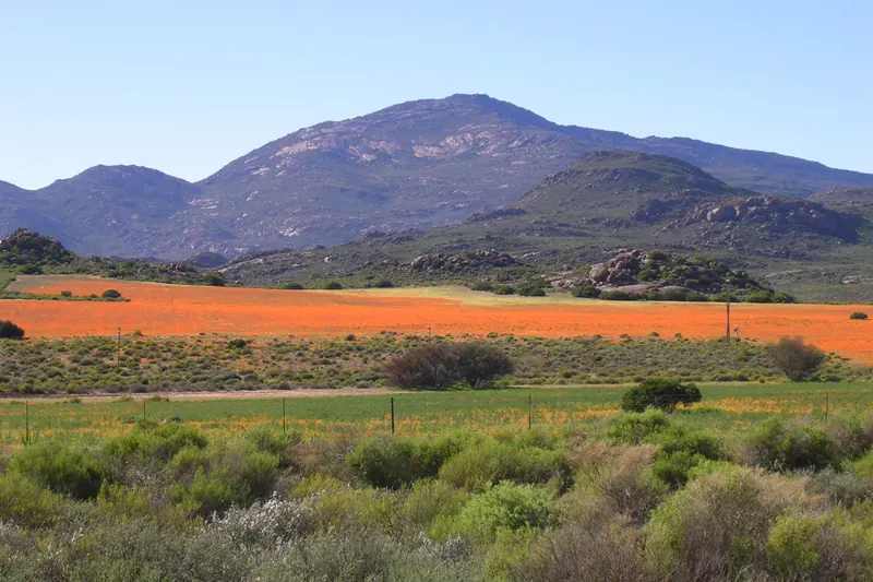
Field of orange spring wildflowers with mountains behind
Wildflowers in Namaqualand, Northern CapePlasticOstrich · Wikimedia CommonsPublic domain · resized and cropped, converted to WebP
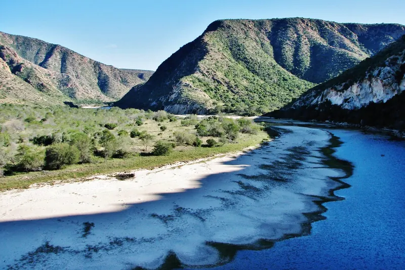
River winding through a steep-sided mountain valley
Kouga River and Baviaanskloof, Eastern CapeGraeme Pienaar · Wikimedia CommonsCC BY-SA 3.0 · resized and cropped, converted to WebP
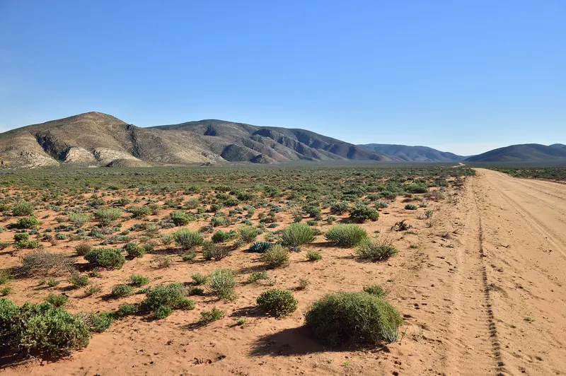
Sandy track beside sparse desert scrub and rocky hills under a clear sky
Richtersveld National Park, Northern CapeSouth African Tourism from South Africa · Wikimedia CommonsCC BY 2.0 · resized and cropped, converted to WebP
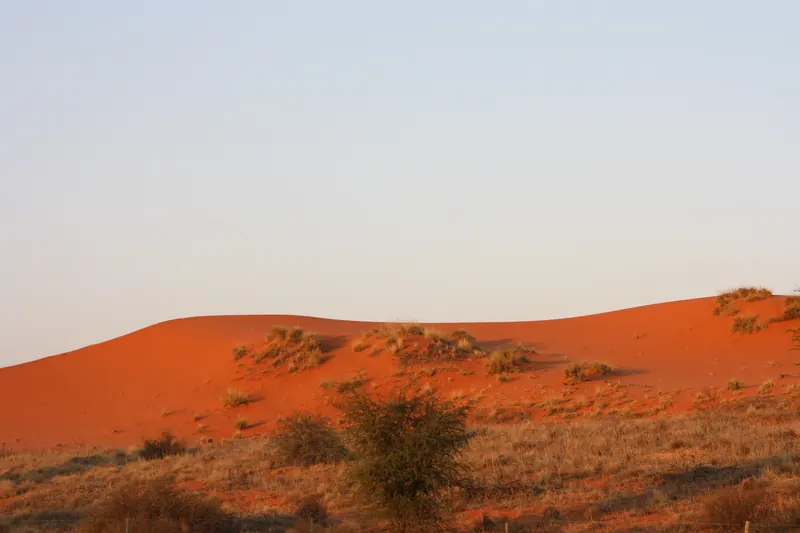
Red sand dune with scattered grass under a hazy sky
Red dunes, Kgalagadi (Kalahari), Northern CapeBougnat87 · Wikimedia CommonsCC BY-SA 3.0 · resized and cropped, converted to WebP
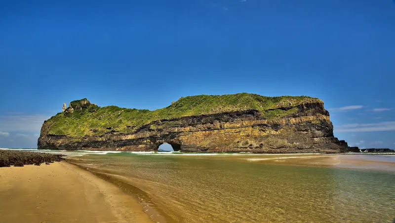
Hole in the Wall rock arch standing off a sandy beach
Hole in the Wall, Coffee Bay, Wild Coast, Eastern CapeVincentvanoosten · Wikimedia CommonsCC0 · resized and cropped, converted to WebP
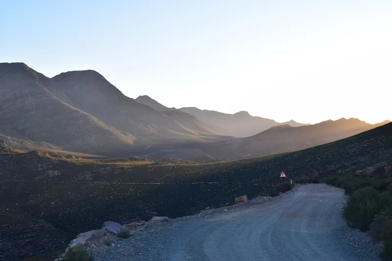
Gravel road of the Swartberg Pass curving between mountain ridges in low evening light
Swartberg Pass (R328), Western CapeLouisOelofse · Wikimedia CommonsCC BY 4.0 · resized and cropped, converted to WebP
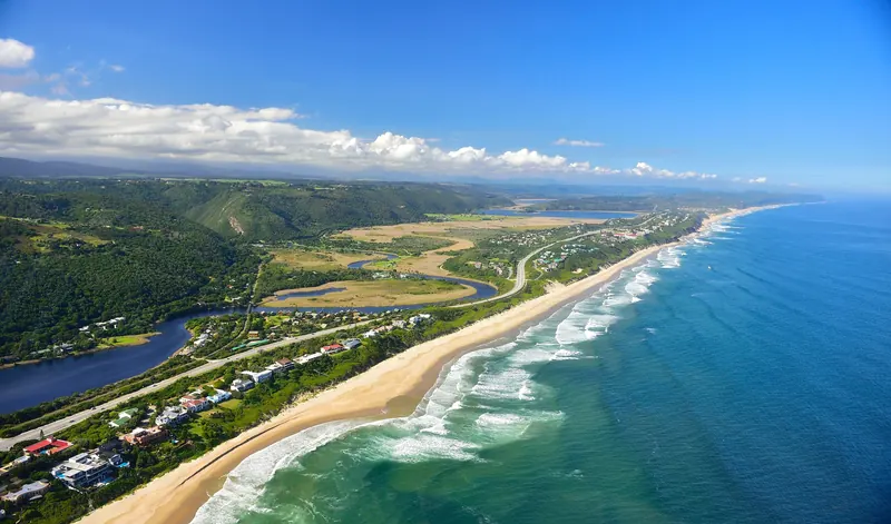
Aerial view of a coastal town, lagoon and long surf beach with the N2 highway
Wilderness and the N2, Garden Route (per source title)South African Tourism from South Africa · Wikimedia CommonsCC BY 2.0 · resized and cropped, converted to WebP
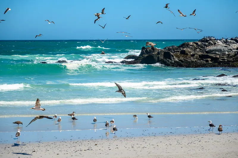
Waves breaking on a rocky shore with gulls on the beach
Tsaarsbank, West Coast National Park, Western Capedconvertini · Wikimedia CommonsCC BY-SA 2.0 · resized and cropped, converted to WebP
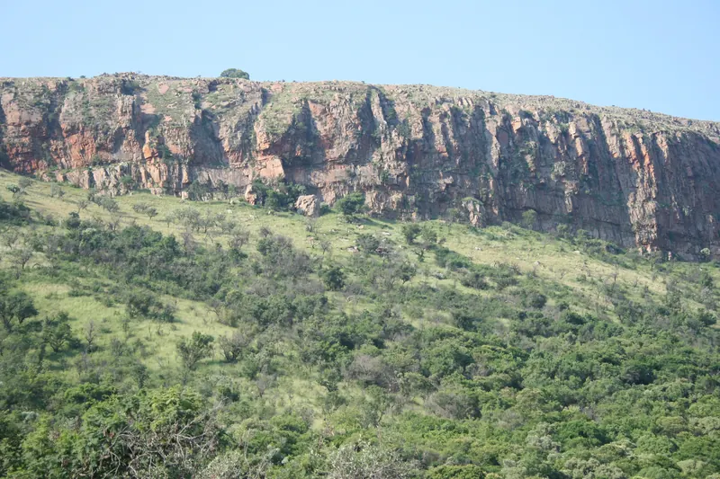
Red quartzite cliffs above wooded slopes
Magaliesberg near Dewetsnek, Skeerpoort, North WestJMK · Wikimedia CommonsCC BY-SA 4.0 · resized and cropped, converted to WebP
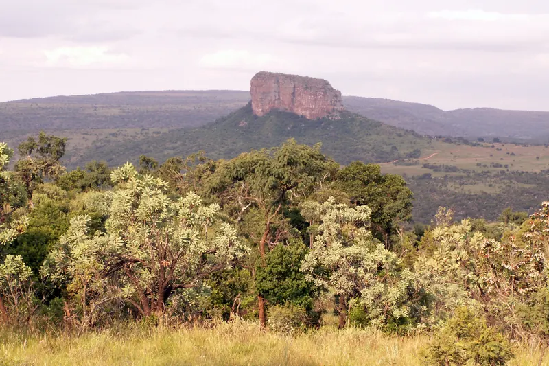
Bushveld trees in the foreground with a flat-topped sandstone peak beyond
Waterberg, LimpopoFugue · Wikimedia CommonsCC BY-SA 2.0 · resized and cropped, converted to WebP
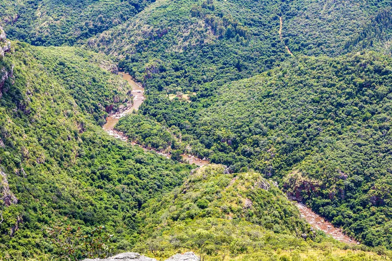
Forested canyon with a river far below, seen from the escarpment edge
Blyde River valley from Lowveld View, Blyde River Canyon Nature Reserve, MpumalangaDietmar Rabich · Wikimedia CommonsCC BY-SA 4.0 · resized and cropped, converted to WebP
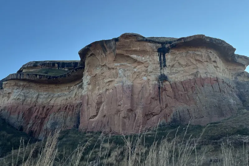
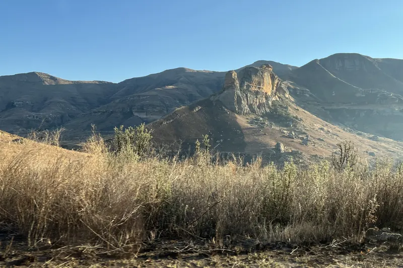
Banded red and orange sandstone cliff above grassland
Golden Gate Highlands National Park, Free StatePavel Špindler · Wikimedia CommonsCC BY 3.0 · resized and cropped, converted to WebP
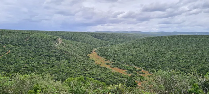
Wide valley of dense green thicket under an overcast sky
Addo Elephant National Park, Eastern CapeBernard DUPONT · Wikimedia CommonsCC BY-SA 2.0 · resized and cropped, converted to WebP
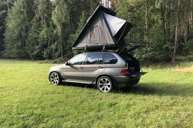
A grey SUV parked on grass beside a forest with an open hard-shell rooftop tent on its roof
An Alu-Cab Expedition 3 hard-shell rooftop tent opened on an SUVAffemitwaffe · Wikimedia CommonsCC BY-SA 4.0 · resized and cropped, converted to WebP
Rows of white and grey portable car fridges of different sizes on a display stand
Portable 12V compressor fridges of different sizes on a trade-show standAlexey Gorenko · Wikimedia CommonsCC BY-SA 4.0 · resized and cropped, converted to WebP
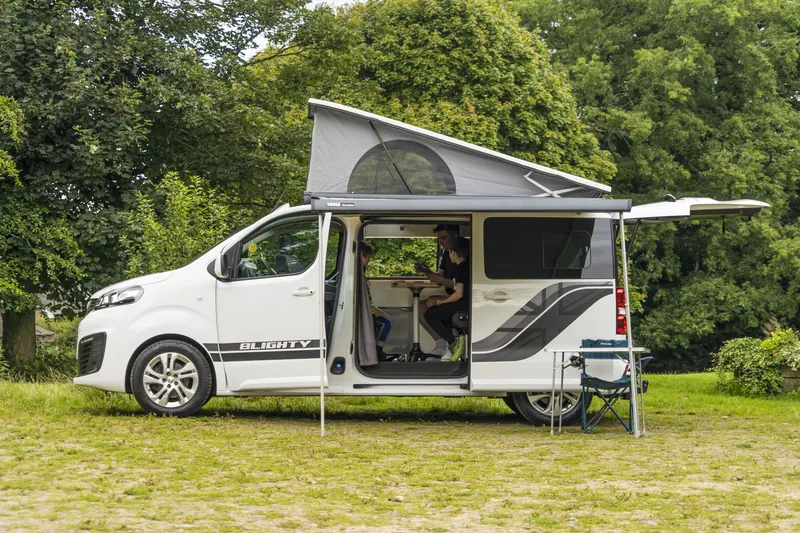
Campervan with pop-up roof and side awning extended, parked on grass under trees
Campervan with awning up in the countryside (location not stated)CruiseAmerica · Wikimedia CommonsCC BY-SA 4.0 · resized and cropped, converted to WebP
Close-up of an orange rope soft shackle with a black sleeve marked Fuse Shackle
A soft fuse shackle, recovery gear designed to be the weak link in a towTony Webster · Wikimedia CommonsCC BY 2.0 · resized and cropped, converted to WebP
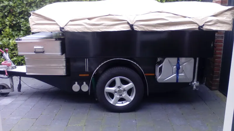
Camping trailer with a fold-out tent unit and storage boxes parked on paving
Camping trailer with tent unit (location not stated)Ottenhof · Wikimedia CommonsCC BY-SA 4.0 · resized and cropped, converted to WebP
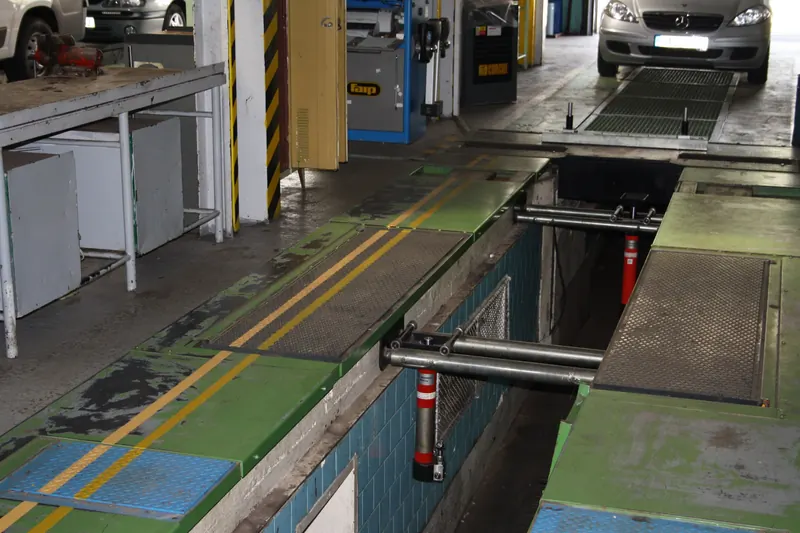
Vehicle workshop interior with an inspection pit, lift equipment and a car on a ramp
Automobile repair workshop (location not stated)Leotard · Wikimedia CommonsPublic domain · resized and cropped, converted to WebP
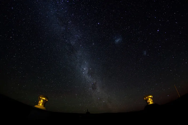
Milky Way and the Magellanic Clouds over a dark horizon with two small lights
Night sky near Sutherland, Karoo, Northern CapeMatt Biddulph from UK · Wikimedia CommonsCC BY-SA 2.0 · resized and cropped, converted to WebP
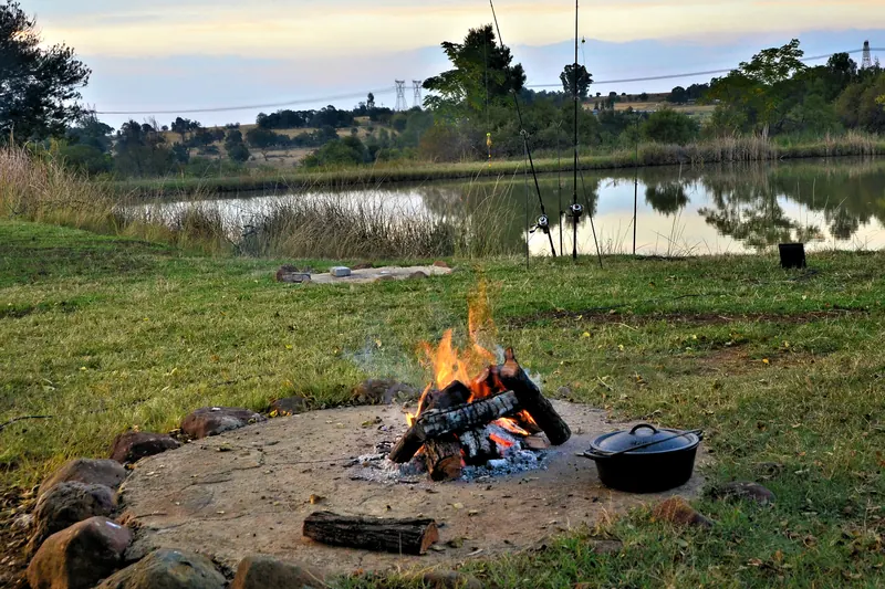
Wood fire in a stone-ringed fire pit with a cast-iron pot beside a pond at dusk
Wood fire, South AfricaOssewa · Wikimedia CommonsCC BY 4.0 · resized and cropped, converted to WebP
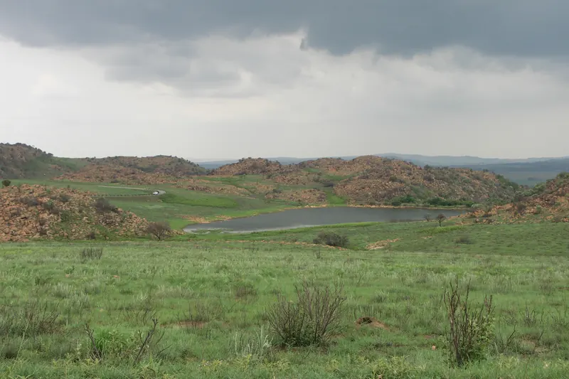
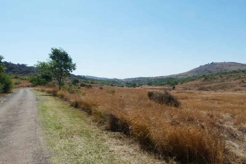
Rolling grassland and rocky hills around a small dam under a cloudy sky in Suikerbosrand Nature Reserve
Grassland, hills and a dam in Suikerbosrand Nature Reserve, GautengNJR ZA · Wikimedia CommonsCC BY-SA 3.0 · resized and cropped, converted to WebP
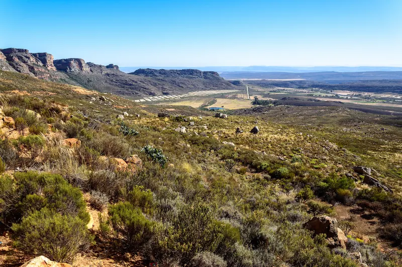
Sandstone cliffs and fynbos-covered slopes above a valley in the northern Cederberg
Sandstone ridges and fynbos above the Pakhuis Pass in the northern Cederberg, about 2 km from the campsitedconvertini · Wikimedia CommonsCC BY-SA 2.0 · resized and cropped, converted to WebP

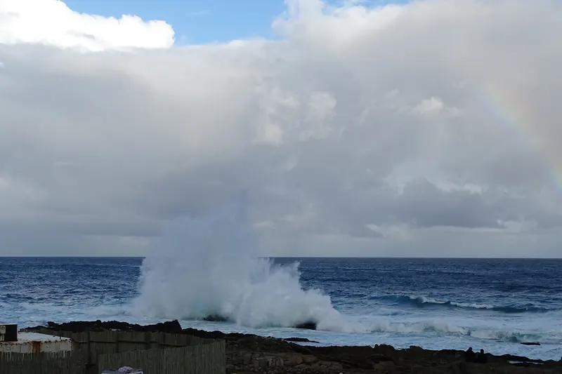
Waves breaking on a dark rocky shoreline under a rainbow at Storms River Mouth
Surf on the rocky shore at Storms River Mouth, TsitsikammaAd Meskens · Wikimedia CommonsCC BY-SA 4.0 · resized and cropped, converted to WebP
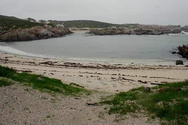
A small sandy cove with granite rocks and coastal scrub at Tietiesbaai
Tietiesbaai, Cape Columbine Nature Reserve, West CoastHendrik van den Berg · Wikimedia CommonsCC BY 3.0 · resized and cropped, converted to WebP
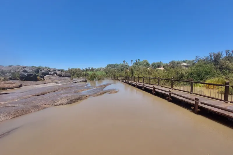
A wooden boardwalk crossing brown floodwater beside the rest camp at Augrabies Falls
Boardwalk over the flooded Orange River channels near the Augrabies Falls viewpoints, February 2023Ich-schau-nur · Wikimedia CommonsCC BY-SA 4.0 · resized and cropped, converted to WebP
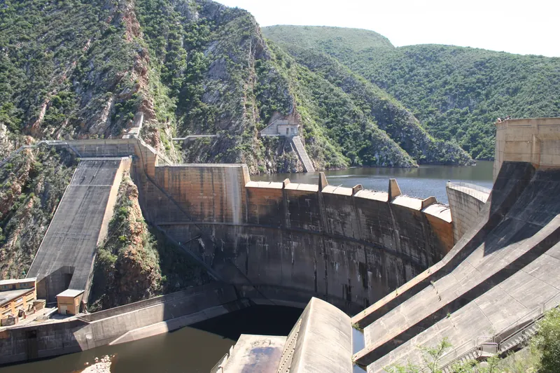
Curved concrete dam wall between steep green gorge sides at the Kouga Dam
Kouga (Paul Sauer) Dam wall at the eastern entrance of the Baviaanskloof, about 2 km from the campsiteNick ( NJR ZA ) · Wikimedia CommonsCC BY-SA 3.0 · resized and cropped, converted to WebP
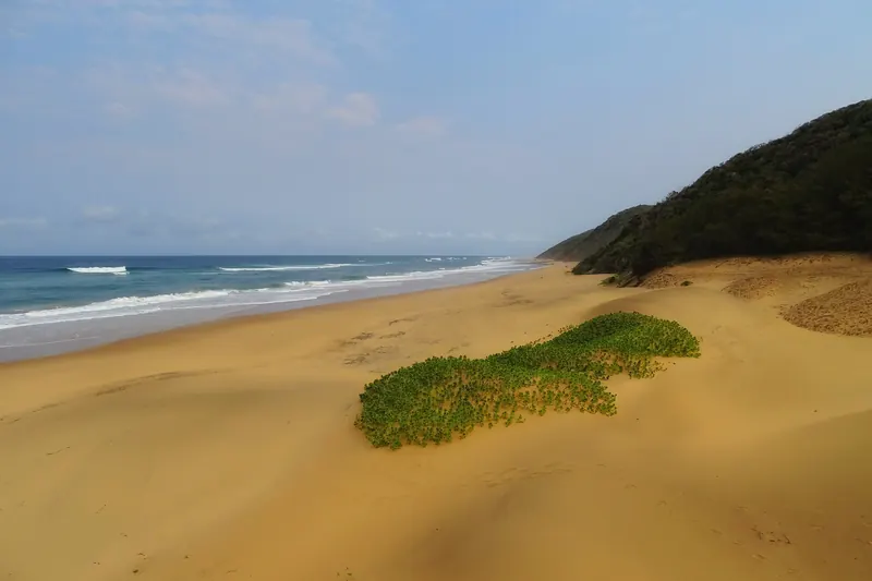
A wide sandy beach backed by a vegetated dune at Cape Vidal
The beach beside the camping area at Cape Vidal, iSimangaliso Wetland ParkBjørn Christian Tørrissen · Wikimedia CommonsCC BY-SA 4.0 · resized and cropped, converted to WebP
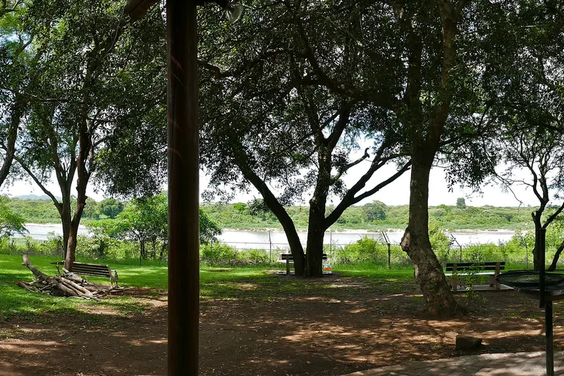
Shady trees and lawn inside Lower Sabie Rest Camp with the river floodplain beyond
Lawns and trees inside Lower Sabie Rest Camp, looking towards the Sabie RiverBernard DUPONT from FRANCE · Wikimedia CommonsCC BY-SA 2.0 · resized and cropped, converted to WebP
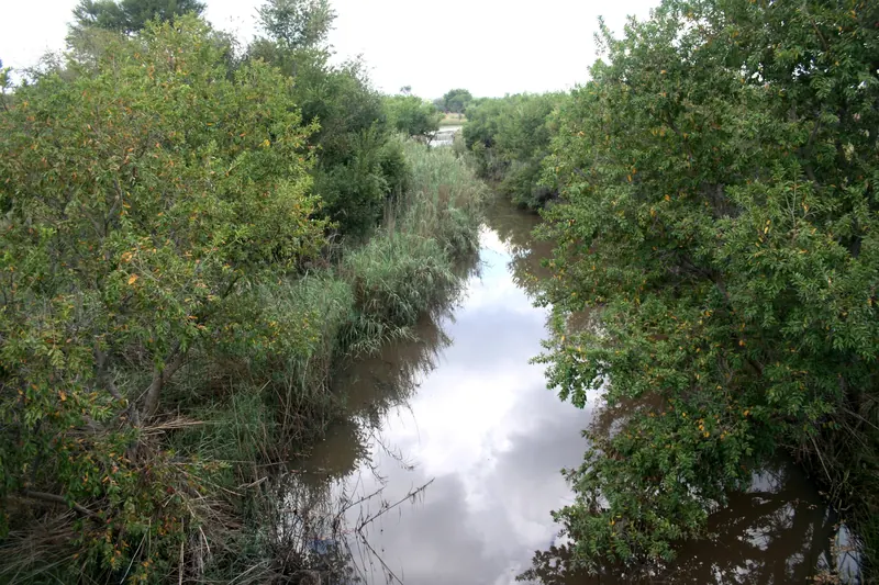
A quiet stream lined with dense trees beside the Rust de Winter road
The Boekenhout Spruit beside the Rust de Winter road (D48), next to DinokengJMK · Wikimedia CommonsCC BY-SA 4.0 · resized and cropped, converted to WebP
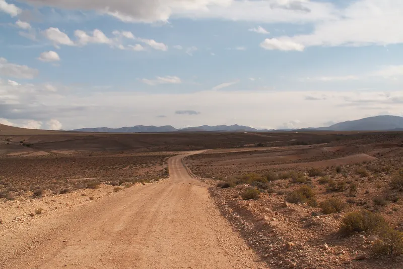
A gravel road crossing flat Karoo scrub towards distant mountains in Anysberg Nature Reserve
Gravel road across the plains of Anysberg Nature Reserve, Klein KarooWinfried Bruenken ( Amrum ) · Wikimedia CommonsCC BY-SA 2.5 · resized and cropped, converted to WebP
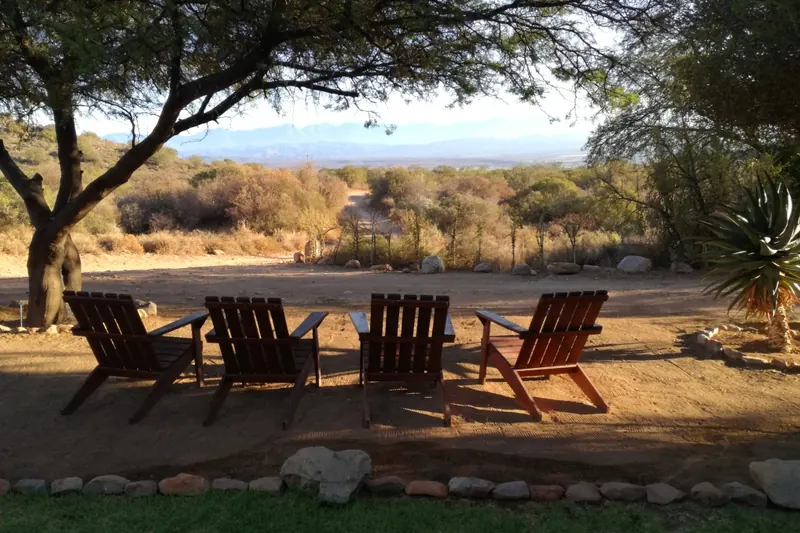
Wooden chairs under a large tree overlooking the Klein Karoo in Gamkaberg Nature Reserve
Outdoor seating under a tree in Gamkaberg Nature ReserveS Molteno · Wikimedia CommonsCC BY-SA 4.0 · resized and cropped, converted to WebP
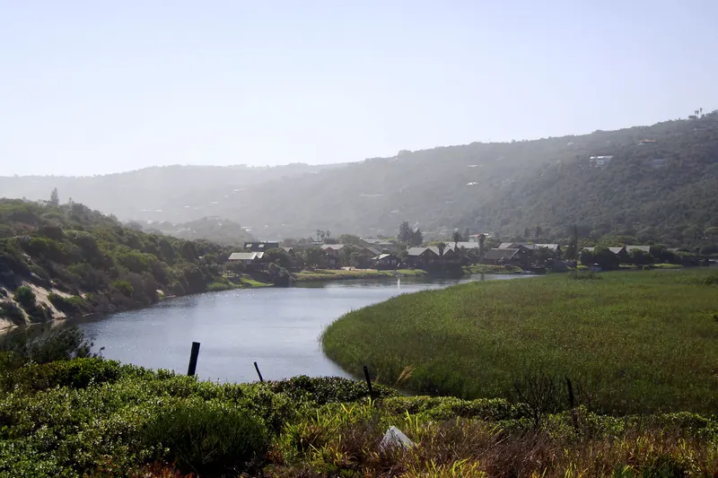
A river bend between wooded hills with houses on the slope beyond, at Wilderness
A bend of the Touw River in the Wilderness section of the Garden Route National Park, about 1 km from the campwarrenski from Cape Town, South Africa · Wikimedia CommonsCC BY-SA 2.0 · resized and cropped, converted to WebP
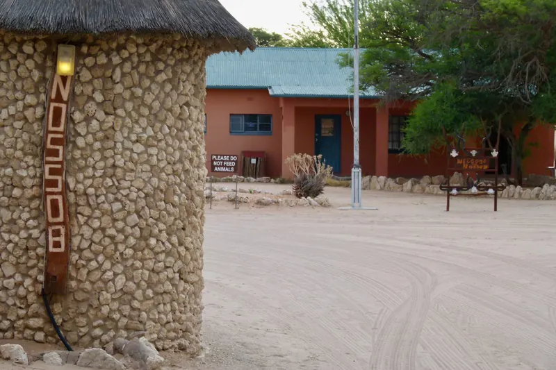
A stone-clad entrance pillar marked Nossob beside the rest camp's reception building
Reception at Nossob Rest Camp, Kgalagadi Transfrontier ParkBernard DUPONT from FRANCE · Wikimedia CommonsCC BY-SA 2.0 · resized and cropped, converted to WebP
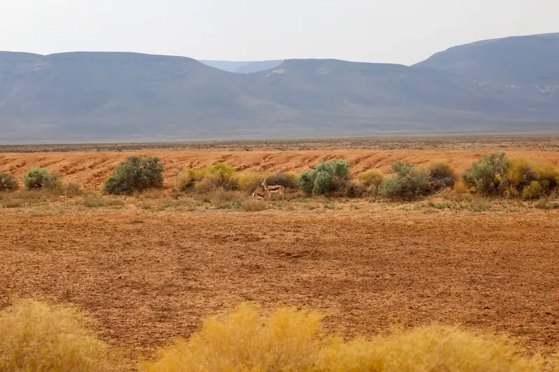
Open orange plains with low shrubs and distant mountains in Tankwa Karoo National Park
Springbok on the plains of Tankwa Karoo National Parkyakovlev.alexey from Moscow, Russia · Wikimedia CommonsCC BY-SA 2.0 · resized and cropped, converted to WebP
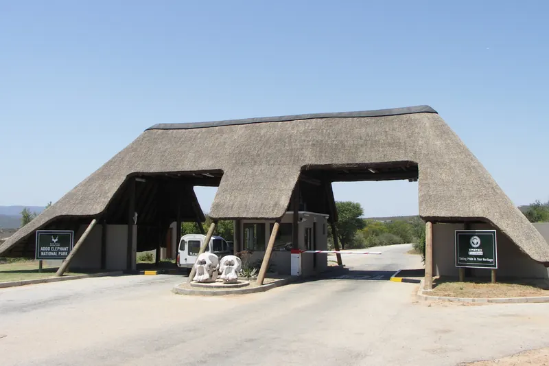
A thatched gateway building over the entrance road to Addo Elephant National Park
Main entrance gate of Addo Elephant National Park, under 1 km from Main CampNJR ZA · Wikimedia CommonsCC BY-SA 3.0 · resized and cropped, converted to WebP
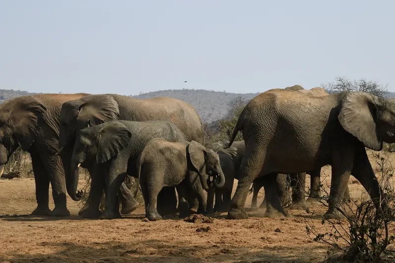
A family of elephants at a muddy waterhole with bush-covered hills behind
Elephants at a waterhole beside Punda Maria Rest Camp, northern KrugerPhil Newton from Manchester, England · Wikimedia CommonsCC BY 2.0 · resized and cropped, converted to WebP
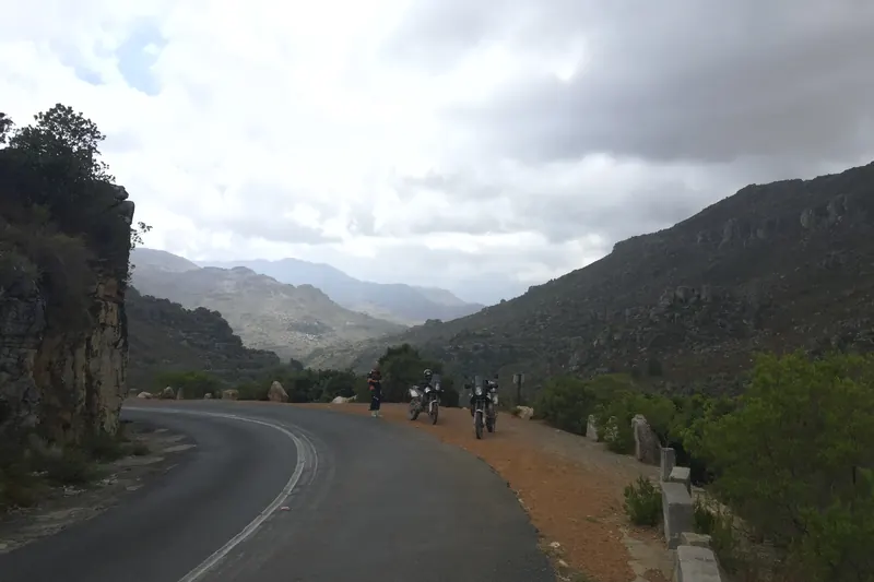
A narrow mountain road with a low stone wall winding into a valley on Bainskloof Pass
The road through Bainskloof Pass, geotagged about 2 km from Tweede TolGraham Maclachlan · Wikimedia CommonsCC BY-SA 3.0 · resized and cropped, converted to WebP
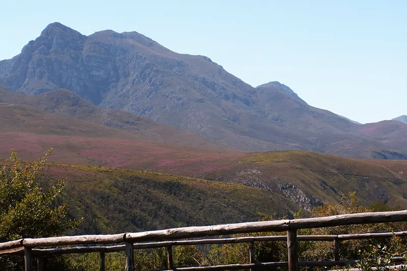
Rugged Langeberg peaks above fynbos slopes, seen past a wooden railing at Grootvadersbosch
Langeberg peaks from Grootvadersbosch Nature ReserveWinfried Bruenken ( Amrum ) · Wikimedia CommonsCC BY-SA 2.5 · resized and cropped, converted to WebP
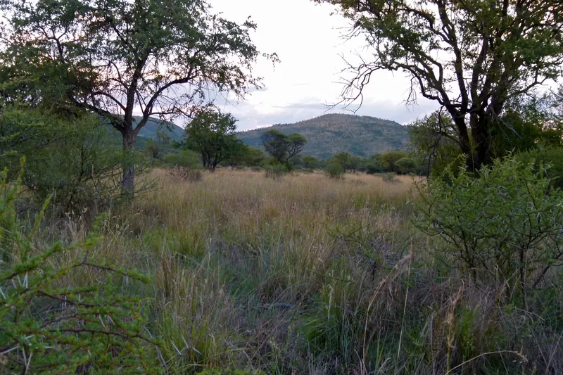
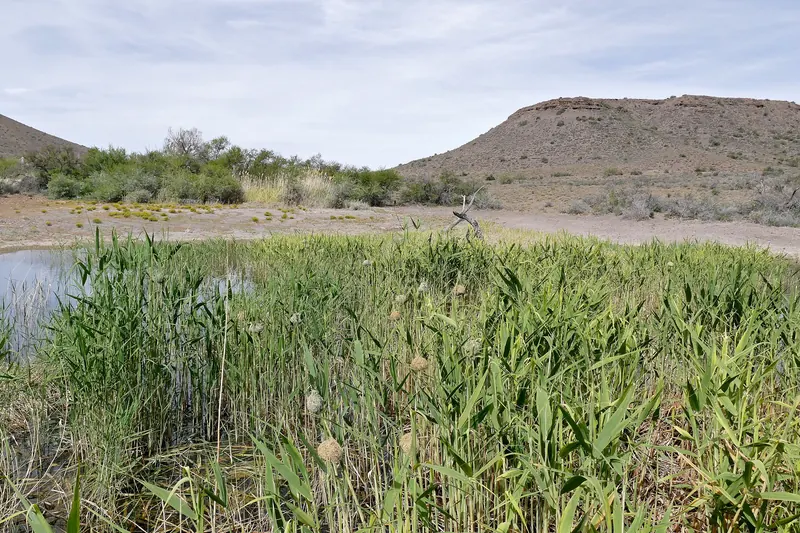
A reed-fringed waterhole with low Karoo hills behind, at the rest camp bird hide
The waterhole at the bird hide inside the Karoo National Park rest campBernard DUPONT from FRANCE · Wikimedia CommonsCC BY-SA 2.0 · resized and cropped, converted to WebP
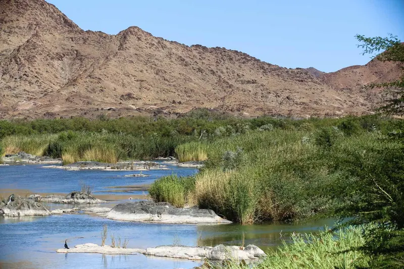
The Orange River running through reeds below bare red mountains in the Richtersveld
The Orange River about 1 km from Potjiespram, Richtersveld National ParkRagnhild&Neil Crawford from Sweden · Wikimedia CommonsCC BY-SA 2.0 · resized and cropped, converted to WebP
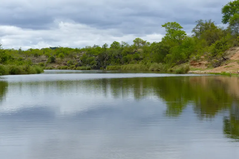
A calm stretch of the Tsendze River lined with green trees under a cloudy sky
The Tsendze River south of Mopani, Kruger National Park, about 5 km from the campsiteBernard DUPONT from FRANCE · Wikimedia CommonsCC BY-SA 2.0 · resized and cropped, converted to WebP
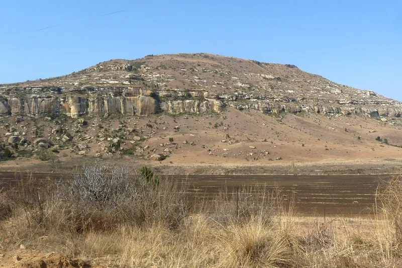
Banded red and yellow sandstone cliffs above grassland in Golden Gate Highlands National Park
Sandstone cliffs beside the road near Glen Reenen, Golden Gate Highlands National ParkSlippery slope302 · Wikimedia CommonsCC BY 4.0 · resized and cropped, converted to WebP
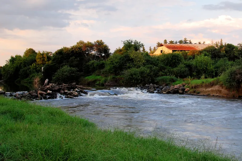
The Klip River flowing between grassy banks at Rothdene near Meyerton
The Klip River at Rothdene, Meyerton, about 1 km from the resortOssewa · Wikimedia CommonsCC BY-SA 4.0 · resized and cropped, converted to WebP
Grassland and thorn trees with the Pilanesberg hills behind, at the start of the Manyane walking trail
Bushveld at the start of the walking trail in Manyane Resort, PilanesbergBernard DUPONT · Wikimedia CommonsCC BY-SA 2.0 · resized and cropped, converted to WebP
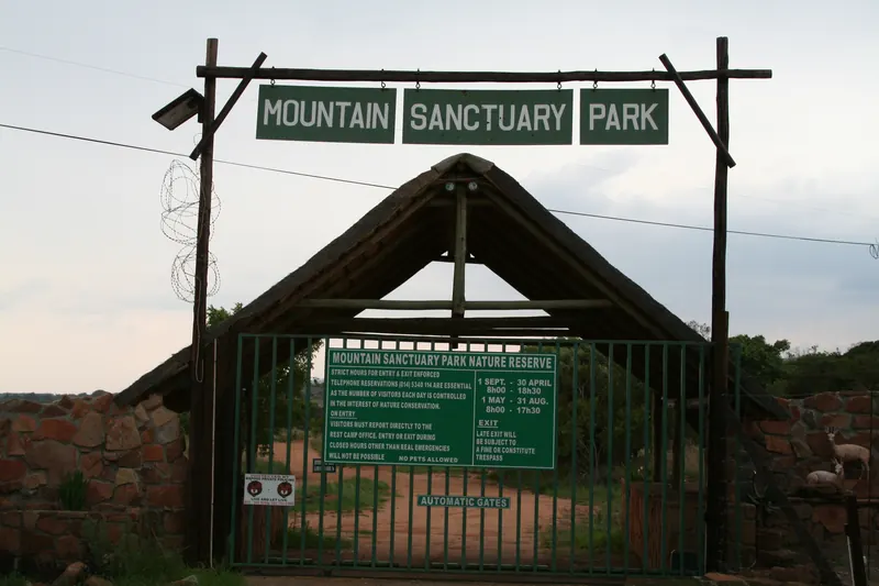
A thatched gateway with a Mountain Sanctuary Park sign over the entrance road
Entrance gate of Mountain Sanctuary Park, MagaliesbergMarco Schmidt [1] · Wikimedia CommonsCC BY-SA 2.5 · resized and cropped, converted to WebP
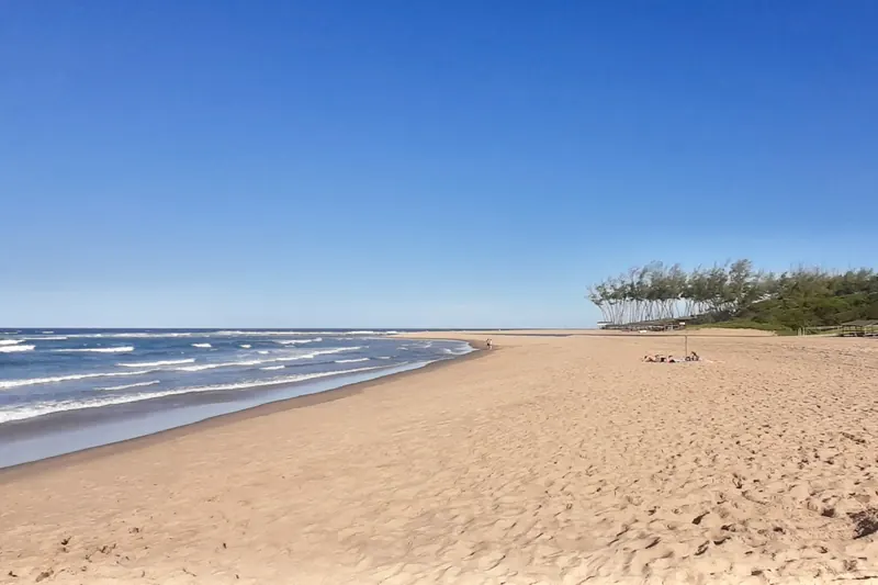
A wide sandy beach curving north under a blue sky at Sodwana Bay
The beach at Sodwana Bay, iSimangaliso Wetland ParkBernard DUPONT · Wikimedia CommonsCC BY-SA 2.0 · resized and cropped, converted to WebP
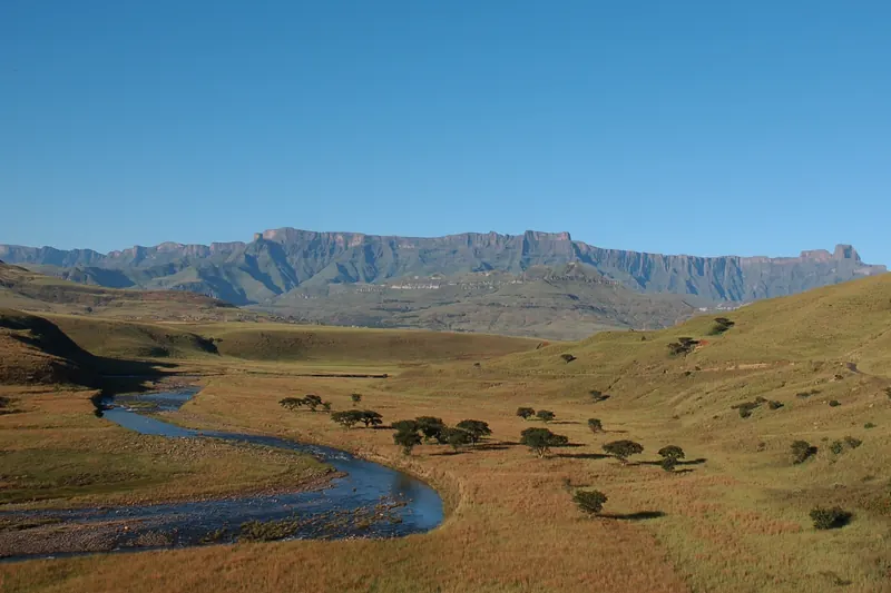
A river winding through grassland towards the long wall of the Amphitheatre in the northern Drakensberg
The Tugela valley and the Amphitheatre near Hlalanathi, northern Drakensbergjumblejet · Wikimedia CommonsCC BY 2.0 · resized and cropped, converted to WebP
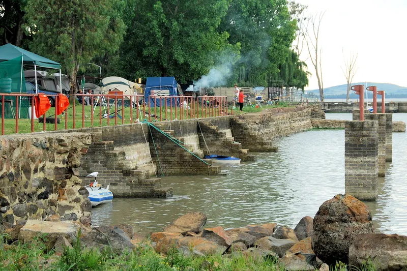
Tents and gazebos under trees beside a stone jetty on the Vaal Dam at Rus 'n Bietjie
Campsites on the Vaal Dam shore at Rus 'n Bietjie, DeneysvilleOssewa · Wikimedia CommonsCC BY-SA 4.0 · resized and cropped, converted to WebP
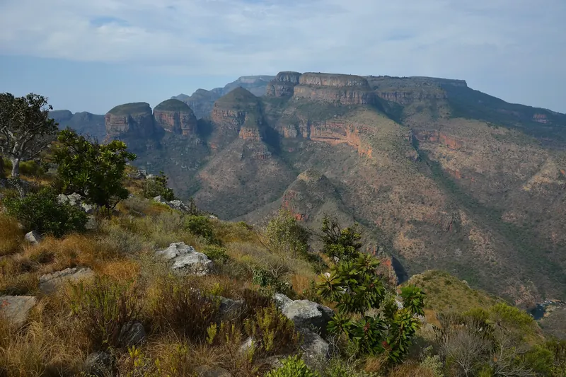
Three round-topped rock peaks above the forested Blyde River Canyon
The Three Rondavels in the Blyde River Canyon, about 2 km from the resortPavel Špindler · Wikimedia CommonsCC BY 3.0 · resized and cropped, converted to WebP
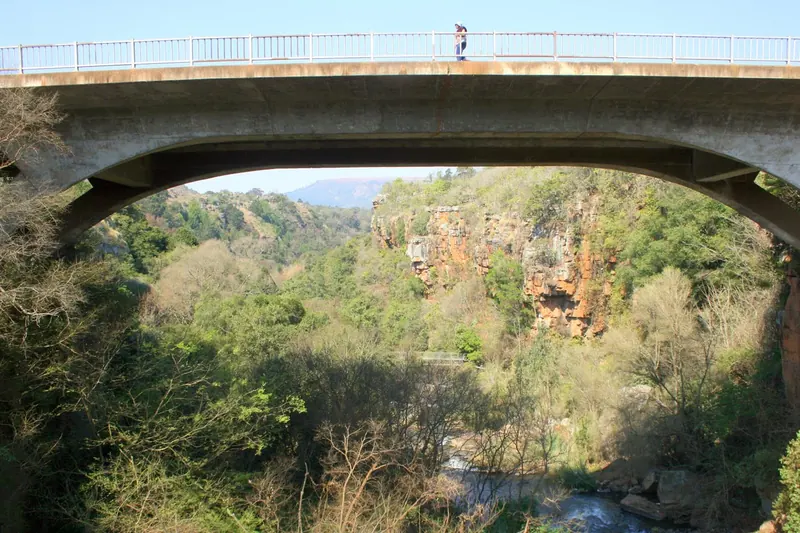
An arched concrete bridge over a wooded gorge at Sabie Falls
The road bridge over the Sabie River at Sabie Falls, about 200 m from the campHendrik van den Berg · Wikimedia CommonsCC BY 3.0 · resized and cropped, converted to WebP
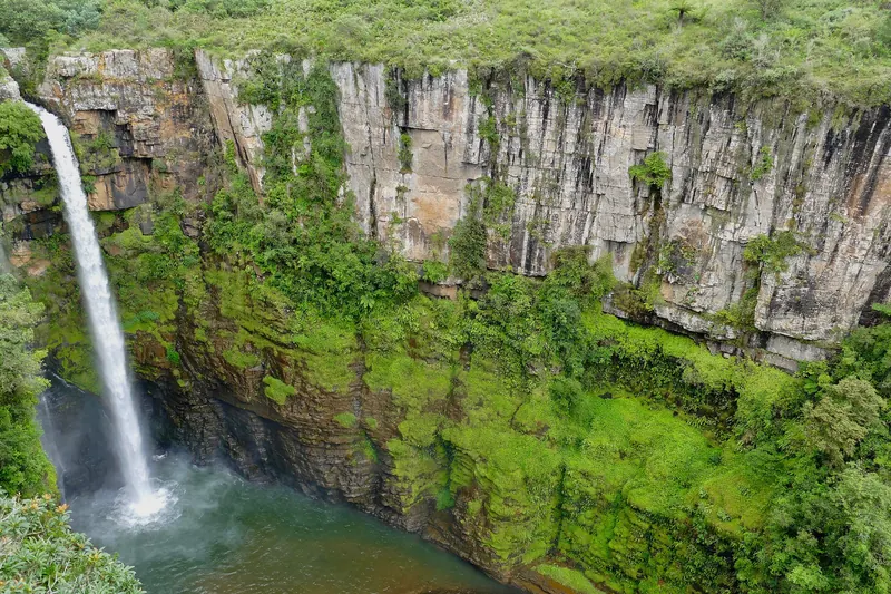
A tall waterfall dropping into a green, cliff-lined gorge at Mac-Mac Falls
Mac-Mac Falls, about 1 km from Mac Mac Forest RetreatBernard DUPONT from FRANCE · Wikimedia CommonsCC BY-SA 2.0 · resized and cropped, converted to WebP
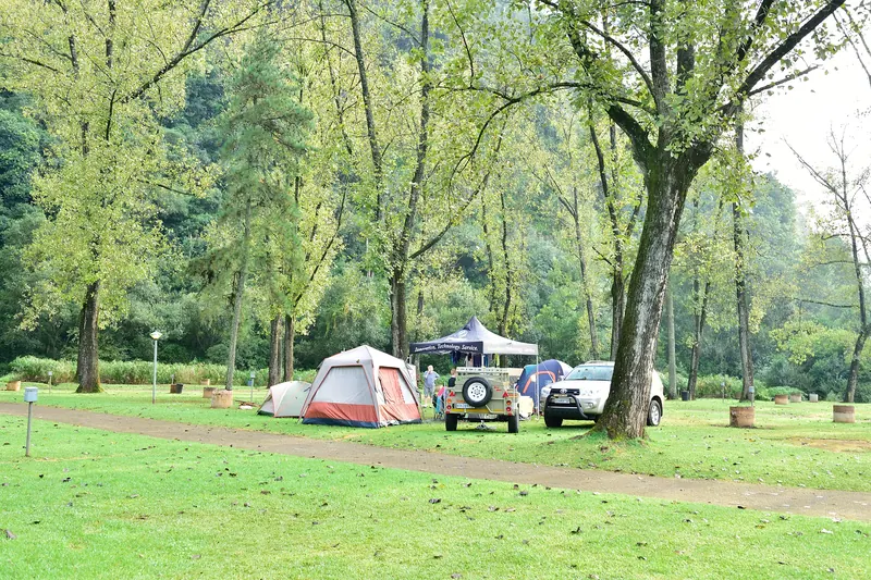
Tents and 4x4s pitched on a shaded lawn among tall trees at Merry Pebbles
Tents and vehicles on the camping lawns at Merry Pebbles, SabieSouth African Tourism from South Africa · Wikimedia CommonsCC BY 2.0 · resized and cropped, converted to WebP
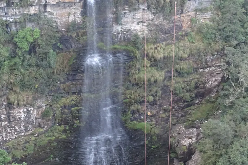
A thin waterfall dropping down dark cliffs into the forested Graskop Gorge
Motitsi Falls in Graskop Gorge, a few hundred metres from the rest campAd Meskens · Wikimedia CommonsCC BY-SA 4.0 · resized and cropped, converted to WebP
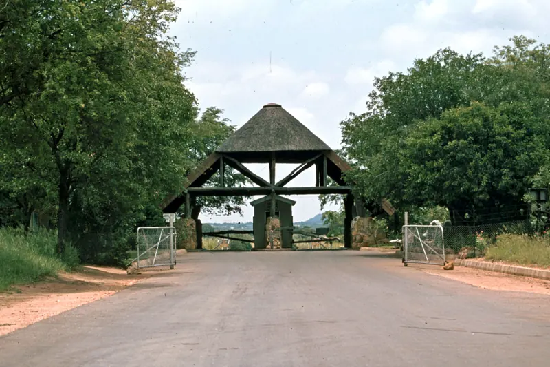
A thatched gate structure over the road at the Phalaborwa entrance to the Kruger
Phalaborwa Gate of the Kruger National Park, under 200 m from the resort (photo from 1980)qwesy qwesy · Wikimedia CommonsCC BY 3.0 · resized and cropped, converted to WebP
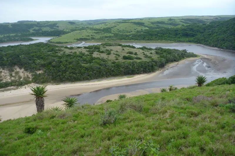
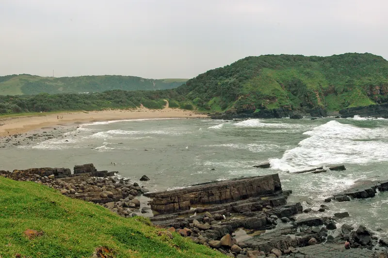
A river lagoon curving to the sea between bush-covered hills at Double Mouth
The Double Mouth lagoon and coastal bush, Wild Coast~ souTH AFRica ~ · Wikimedia CommonsCC BY 3.0 · resized and cropped, converted to WebP
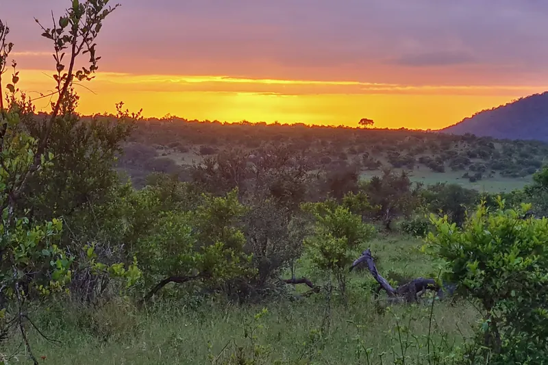
Bushveld silhouetted against a sunset sky beside the road north of Crocodile Bridge
Sunset over the H4-2 road north of Crocodile Bridge, near where the trail startsBernard DUPONT from FRANCE · Wikimedia CommonsCC BY-SA 2.0 · resized and cropped, converted to WebP
Wooded ridges and grassland of Groenkloof Nature Reserve with Pretoria beyond
Looking north over Groenkloof Nature Reserve, Pretoria, where the trail runsJMK · Wikimedia CommonsCC BY-SA 3.0 · resized and cropped, converted to WebP
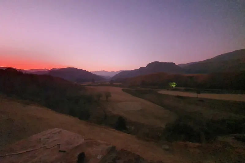
Drakensberg peaks silhouetted against an evening sky at the foot of Sani Pass
Sunset over the mountains at the foot of Sani Pass, about 1 km from the lodgePuellaMarina · Wikimedia CommonsCC BY-SA 4.0 · resized and cropped, converted to WebP
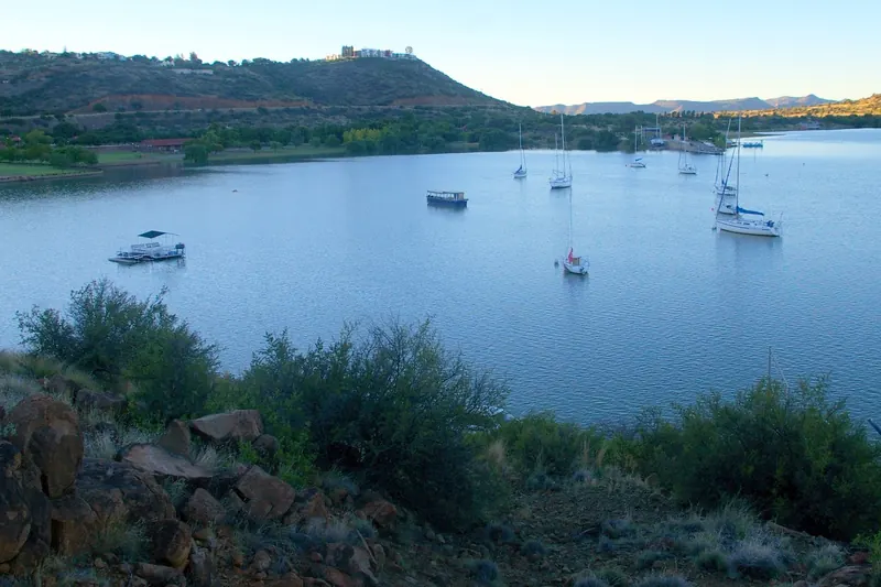
A sheltered bay of the Gariep Dam with low hills on the far shore
The bay at the Forever Resort on the Gariep DamHendrik van den Berg · Wikimedia CommonsCC BY 3.0 · resized and cropped, converted to WebP
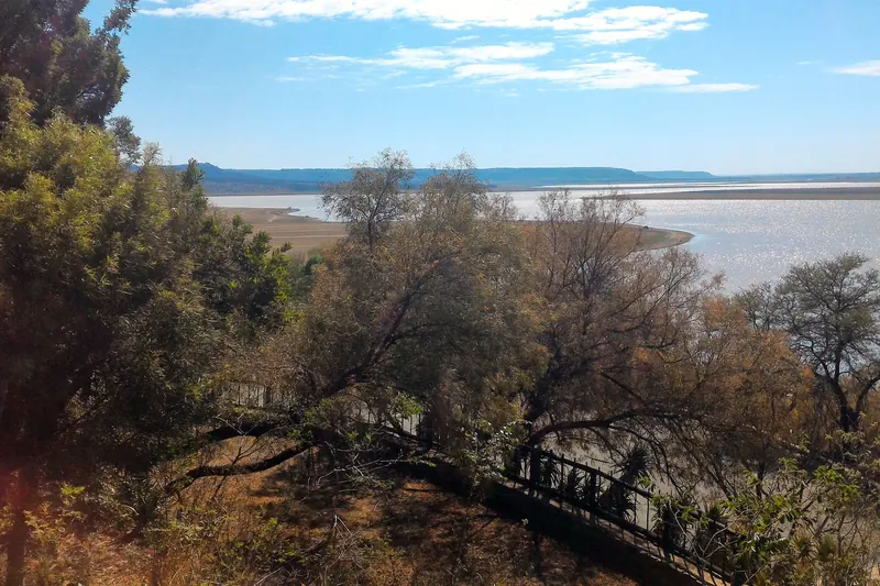
The open water of Allemanskraal Dam with a grassy shoreline
Allemanskraal Dam beside the Aldam resortHendrik van den Berg · Wikimedia CommonsCC BY 3.0 · resized and cropped, converted to WebP
Sunrise behind a hill above bushveld north of Malelane Gate
Sunrise over the H3 road north of Malelane Gate, southern KrugerBernard DUPONT from FRANCE · Wikimedia CommonsCC BY-SA 2.0 · resized and cropped, converted to WebP
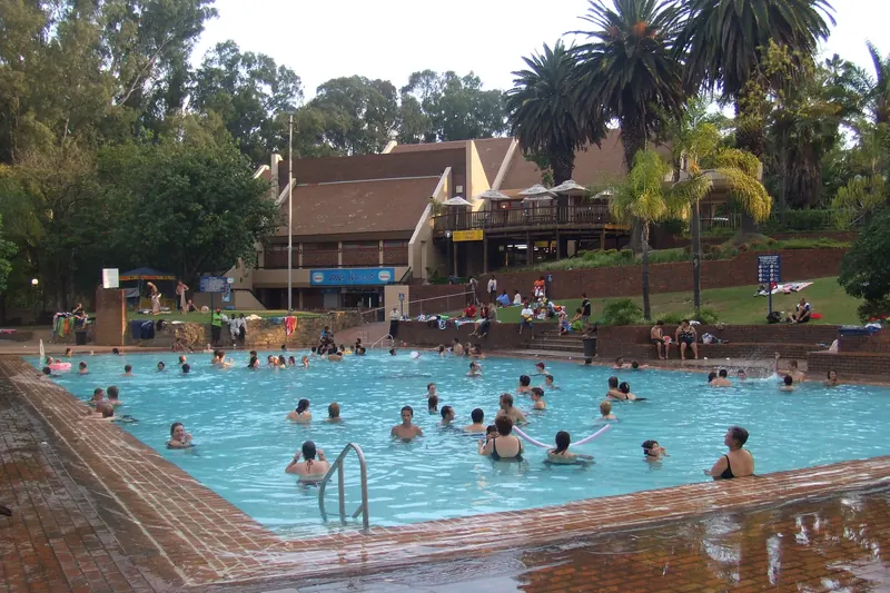
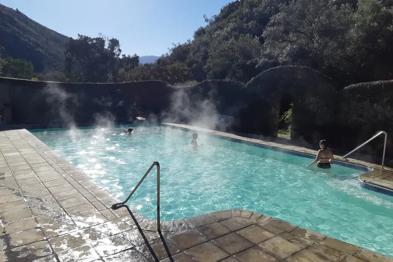
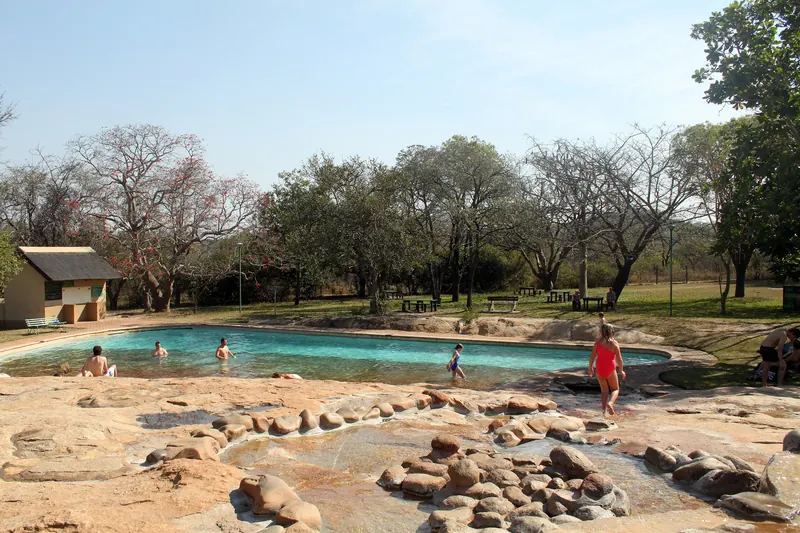
Swimmers in a large outdoor pool fed by the hot spring at Badplaas
The hot-spring swimming pool at BadplaasBougnat87 · Wikimedia CommonsCC BY-SA 3.0 · resized and cropped, converted to WebP
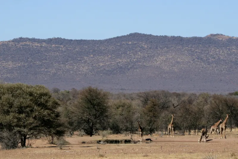
Giraffe and acacia trees on the plain below the Waterberg at the Bontle campsite waterhole
The waterhole at Bontle campsite, Marakele National ParkNJR ZA · Wikimedia CommonsCC BY-SA 3.0 · resized and cropped, converted to WebP
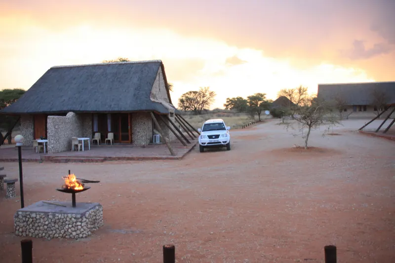
Thatched chalets and a braai stand on red sand at Twee Rivieren Rest Camp at sunset
Twee Rivieren Rest Camp, Kgalagadi Transfrontier ParkBougnat87 · Wikimedia CommonsCC BY-SA 3.0 · resized and cropped, converted to WebP
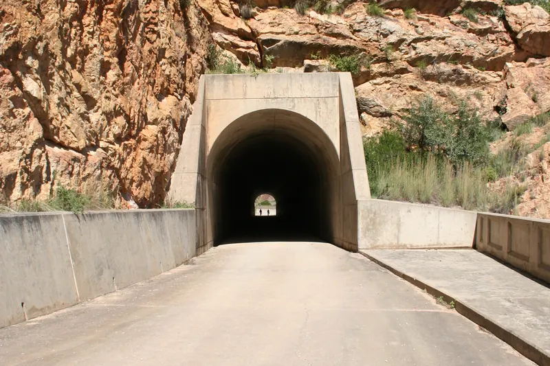
A road leading into a rock tunnel cut into a red cliff at the Kouga Dam
The road tunnel at the Kouga (Paul Sauer) Dam wall, at the eastern end of the Baviaanskloof driveNick ( NJR ZA ) · Wikimedia CommonsCC BY-SA 3.0 · resized and cropped, converted to WebP
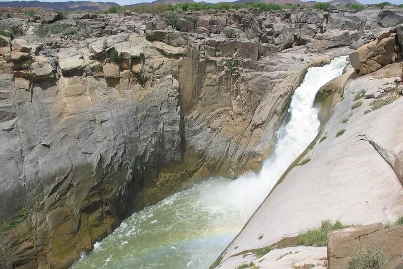
The Orange River pouring through a granite gorge at Augrabies Falls
Augrabies Falls in Augrabies Falls National Park, where the trail isChristian Wörtz ( woertz ) · Wikimedia CommonsCC BY-SA 2.5 · resized and cropped, converted to WebP
A flat-topped sandstone ridge above dry grassland near Meiringskloof, eastern Free State
A sandstone spur of the Ventersberg in the Rooiberge, under 1 km from MeiringskloofJMK · Wikimedia CommonsCC BY-SA 4.0 · resized and cropped, converted to WebP
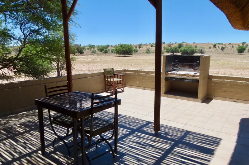
A shaded terrace with a table and braai looking out over the dry Auob riverbed at Mata-Mata
Terrace of a river-front unit at Mata-Mata Rest Camp, looking over the Auob riverbedBernard DUPONT from FRANCE · Wikimedia CommonsCC BY-SA 2.0 · resized and cropped, converted to WebP
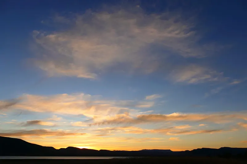
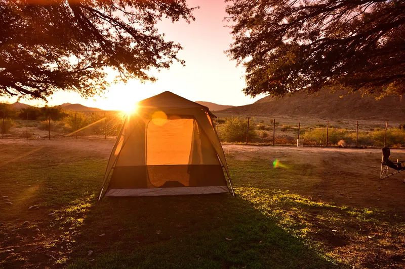
Clouds lit by sunset above a dark ridge, seen from Nqweba Campsite
Sunset over Nqweba Dam from Nqweba Campsite, Camdeboo National ParkBernard DUPONT · Wikimedia CommonsCC BY-SA 2.0 · resized and cropped, converted to WebP
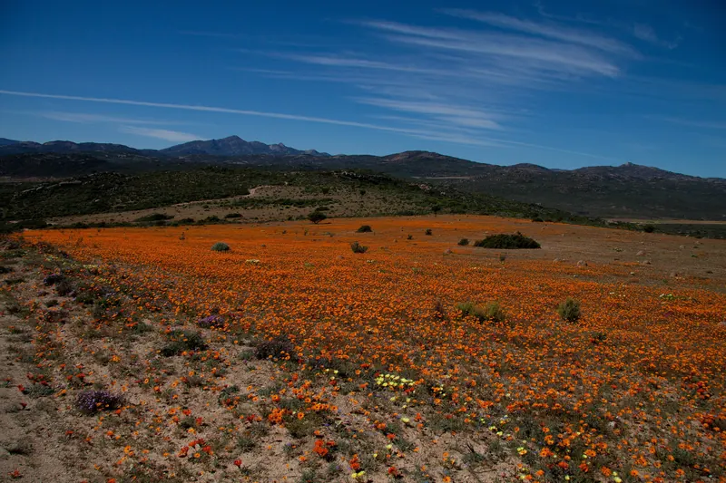
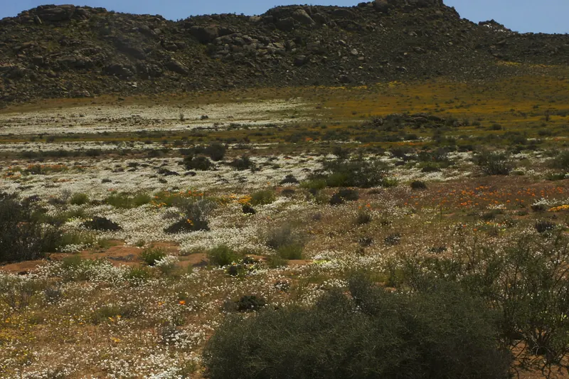
Orange spring daisies carpeting the plains below distant hills in Namaqua National Park
Spring flowers in the Skilpad section of Namaqua National Park, where the route startsWinfried Bruenken ( Amrum ) · Wikimedia CommonsCC BY 3.0 · resized and cropped, converted to WebP
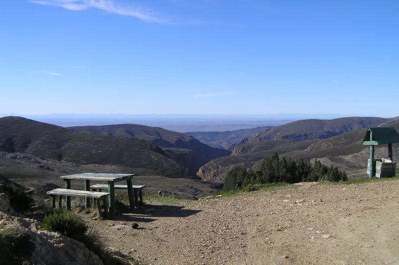
Rugged ridges of the Swartberg range seen from a picnic spot at the top of the pass
Looking north from the top of the Swartberg Pass, near the start of the routeJames M Bryant · Wikimedia CommonsCC BY-SA 3.0 · resized and cropped, converted to WebP
Campsites under trees beside the Orange River at Klein Pella
Camping at Klein Pella on the Orange River, Northern CapeSouth African Tourism from South Africa · Wikimedia CommonsCC BY 2.0 · resized and cropped, converted to WebP
Steep green slopes and cliffs of the Drakensberg escarpment along Sani Pass
The mountains of Sani Pass, between South Africa and LesothoMark peacock at English Wikipedia · Wikimedia CommonsCC BY 2.5 · resized and cropped, converted to WebP
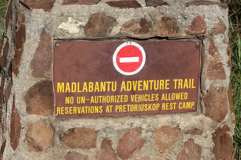
A rusty sign set in a stone wall reading Madlabantu Adventure Trail, reservations at Pretoriuskop
The Madlabantu Adventure Trail sign near Pretoriuskop, Kruger National ParkBernard Gagnon · Wikimedia CommonsCC BY-SA 4.0 · resized and cropped, converted to WebP
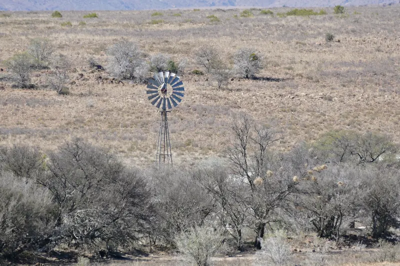
A windpump among low Karoo shrubs on the plains of Mountain Zebra National Park
A windpump on the plains of Mountain Zebra National Park, about 4 km from the trail startBernard DUPONT from FRANCE · Wikimedia CommonsCC BY-SA 2.0 · resized and cropped, converted to WebP
Sandstone peaks rising above dry grass along the road towards Golden Gate
Sandstone ridges along the R712 near Golden Gate, about 600 m from the farmSlippery slope302 · Wikimedia CommonsCC BY 4.0 · resized and cropped, converted to WebP
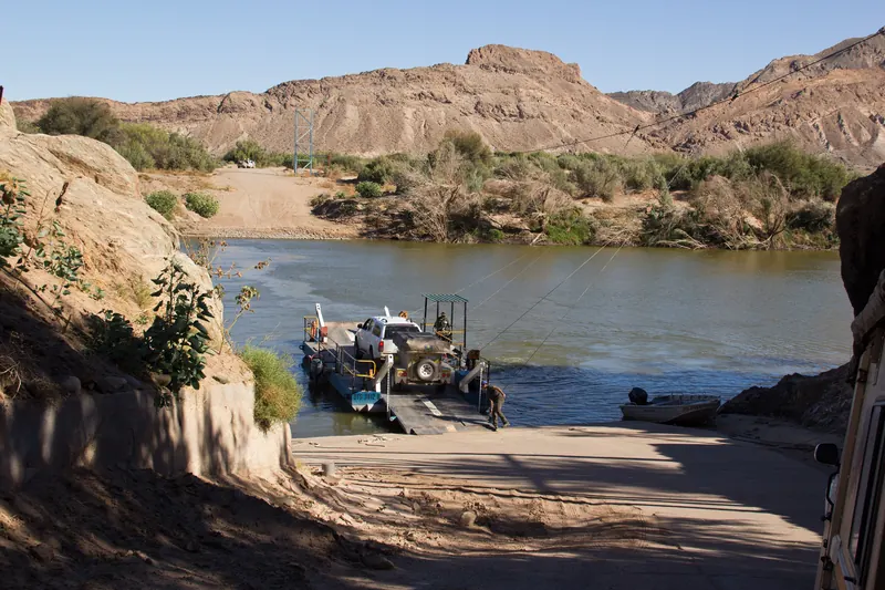
A small pontoon on the Orange River below rocky hills at Sendelingsdrift
The Orange River crossing at Sendelingsdrift, RichtersveldGerald de Beer · Wikimedia CommonsCC BY 2.0 · resized and cropped, converted to WebP
A sandy bay with waves breaking below a green headland at Coffee Bay
Coffee Bay beach and headland, about 200 m from the campsiteAmada44 · Wikimedia CommonsCC BY-SA 3.0 · resized and cropped, converted to WebP
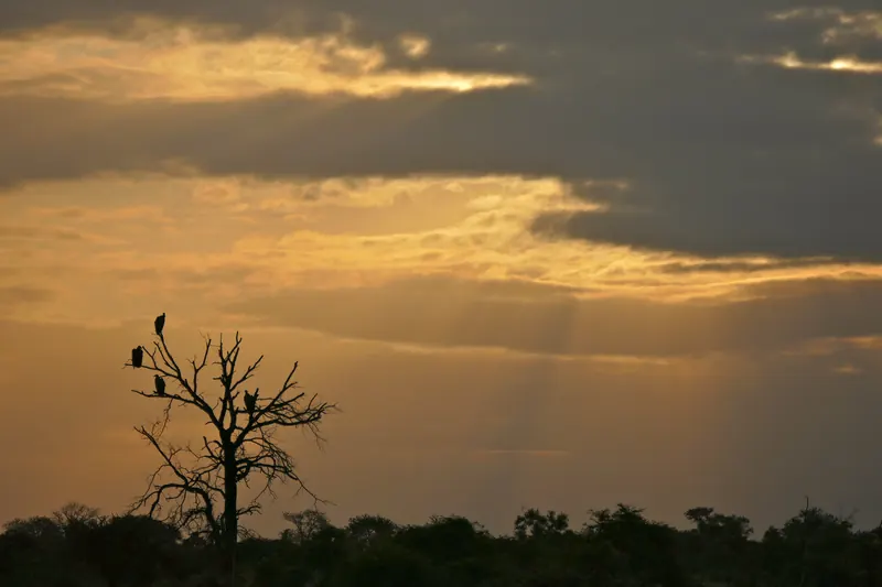
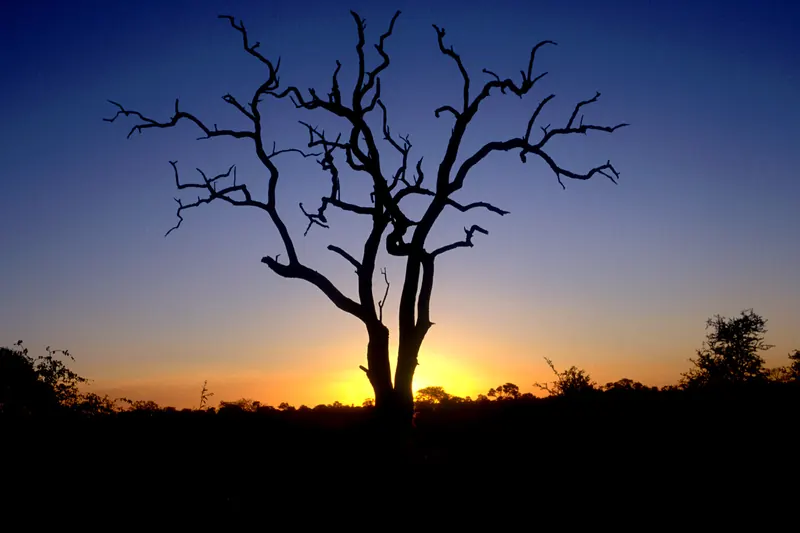
A bare tree silhouetted against a deep blue and orange sunset sky at Satara
Sunset at Satara camp, Kruger National ParkWolves201 · Wikimedia CommonsCC BY-SA 4.0 · resized and cropped, converted to WebP
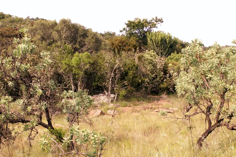
Grass and thornveld trees on a rocky slope near Doorndraai Dam
Bushveld near Doorndraai Dam, WaterbergAnton Raath · Wikimedia CommonsCC BY-SA 2.0 · resized and cropped, converted to WebP
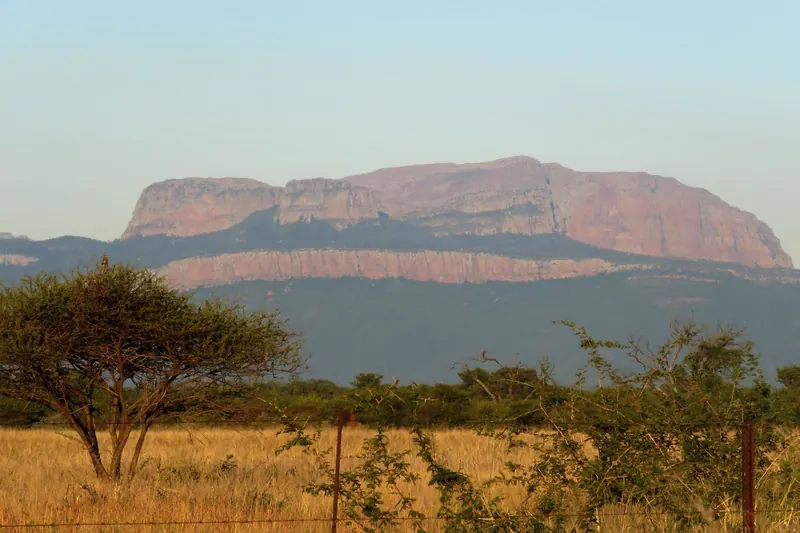
A long red-cliffed mountain rising above dry bushveld at Blouberg
The Blouberg massif in northern Limpopo, home of Blouberg Nature ReserveLeonie Kellermann · Wikimedia CommonsCC BY-SA 4.0 · resized and cropped, converted to WebP
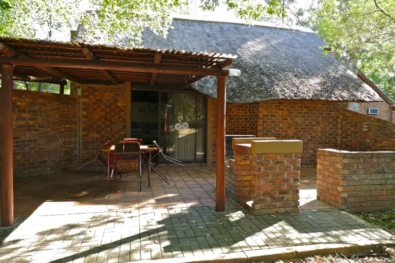
A brick bungalow with a covered verandah and table under trees at Berg-en-Dal
A bungalow verandah inside Berg-en-Dal Rest Camp, southern KrugerBernard DUPONT from FRANCE · Wikimedia CommonsCC BY-SA 2.0 · resized and cropped, converted to WebP
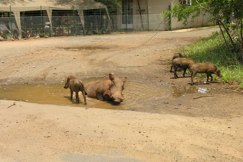
Warthogs rolling in a muddy pool on sandy ground beside the Crocodile Bridge camp fence
Warthogs in a mud wallow beside the Crocodile Bridge camp fenceChris Eason from London · Wikimedia CommonsCC BY 2.0 · resized and cropped, converted to WebP
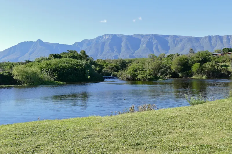
The Breede River curving past a lawn with the Langeberg mountains behind at Lang Elsie's Kraal
The Breede River at Lang Elsie's Kraal, with the Langeberg behind, Bontebok National ParkBernard DUPONT from FRANCE · Wikimedia CommonsCC BY-SA 2.0 · resized and cropped, converted to WebP
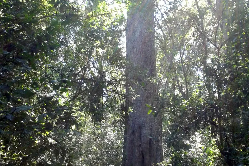
A huge yellowwood trunk rising through dense indigenous forest at Diepwalle
The Big Yellowwood tree in Diepwalle forest, about 1 km from the campHendrik van den Berg · Wikimedia CommonsCC BY 3.0 · resized and cropped, converted to WebP
Steam rising from a blue outdoor hot-spring pool below a mountain at The Baths
The original hot-spring pool at The Baths, near CitrusdalDiscott · Wikimedia CommonsCC BY-SA 4.0 · resized and cropped, converted to WebP
Orange and yellow spring daisies across a rocky plain in Goegap Nature Reserve
Spring flowers in Goegap Nature Reserve, NamaqualandWinfried Bruenken ( Amrum ) · Wikimedia CommonsCC BY-SA 2.5 · resized and cropped, converted to WebP
A gravel road running towards flat-topped Karoo koppies outside Nieu-Bethesda
The gravel road into Nieu-Bethesda, Sneeuberg, about 2.5 km from the villageChris H Munro · Wikimedia CommonsCC BY-SA 4.0 · resized and cropped, converted to WebP
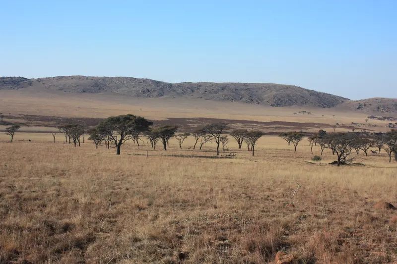
Open grassland dotted with acacia trees below a low ridge in Kgaswane Mountain Reserve
Grassland and acacia in Kgaswane Mountain Reserve, RustenburgMarco Schmidt [1] · Wikimedia CommonsCC BY-SA 3.0 · resized and cropped, converted to WebP
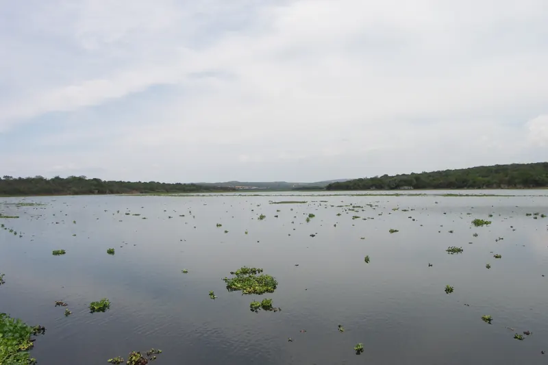
The open water of Roodeplaat Dam with patches of water hyacinth and a wooded shore
Roodeplaat Dam, Roodeplaat Dam Nature ReserveNJR ZA · Wikimedia CommonsCC BY-SA 3.0 · resized and cropped, converted to WebP
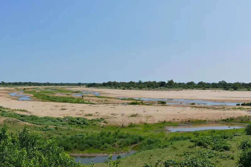
The wide sandy bed of the Letaba River with green bush on both banks
The Letaba River below Letaba Rest Camp, Kruger National ParkBernard DUPONT from FRANCE · Wikimedia CommonsCC BY-SA 2.0 · resized and cropped, converted to WebP
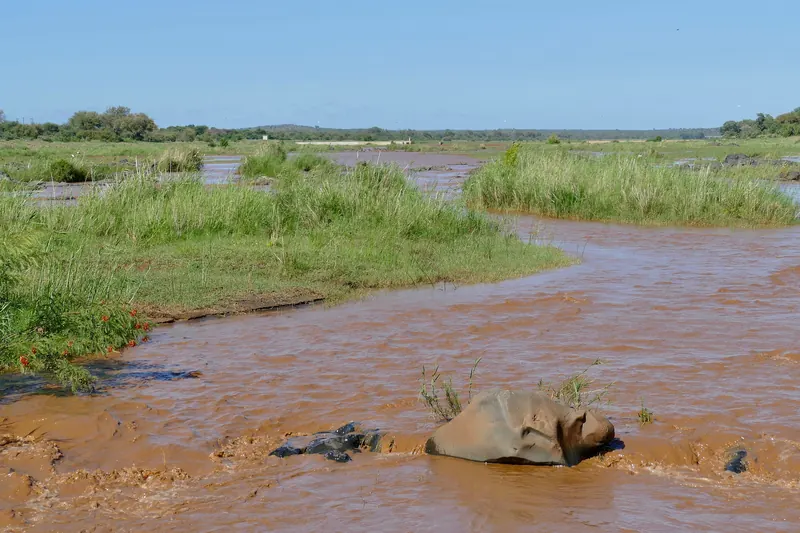
The muddy Olifants River flowing between grassy banks near Balule
The Olifants River near Balule Satellite Camp, Kruger National ParkBernard DUPONT from FRANCE · Wikimedia CommonsCC BY-SA 2.0 · resized and cropped, converted to WebP
A red dirt track under umbrella-shaped acacia trees in Nylsvley Nature Reserve
A track through acacia woodland in Nylsvley Nature ReserveRooiratel · Wikimedia CommonsCC BY-SA 4.0 · resized and cropped, converted to WebP
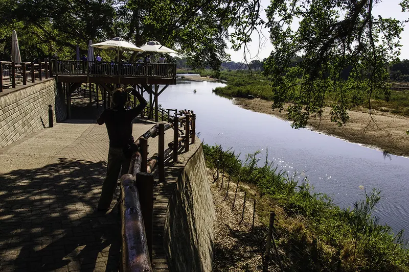
A shaded wooden deck above the Sabie River with trees along the bank at Skukuza
The deck above the Sabie River inside Skukuza Rest Campbillandkent from Coventry, Connecticut, United States · Wikimedia CommonsCC BY 2.0 · resized and cropped, converted to WebP
A swimming pool set among granite rocks and trees at Pretoriuskop Rest Camp
The rock swimming pool at Pretoriuskop Rest Camp, Kruger National Parkflowcomm · Wikimedia CommonsCC BY 2.0 · resized and cropped, converted to WebP
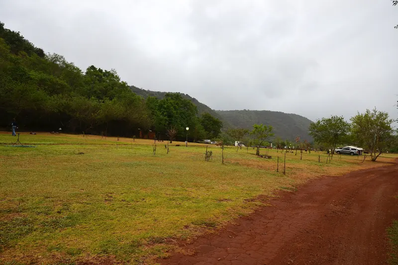
A grassy camping field beside a red dirt road with wooded hills behind at Mankele
The caravan and camping area at Mankele, near SudwalaPavel Špindler · Wikimedia CommonsCC BY 3.0 · resized and cropped, converted to WebP
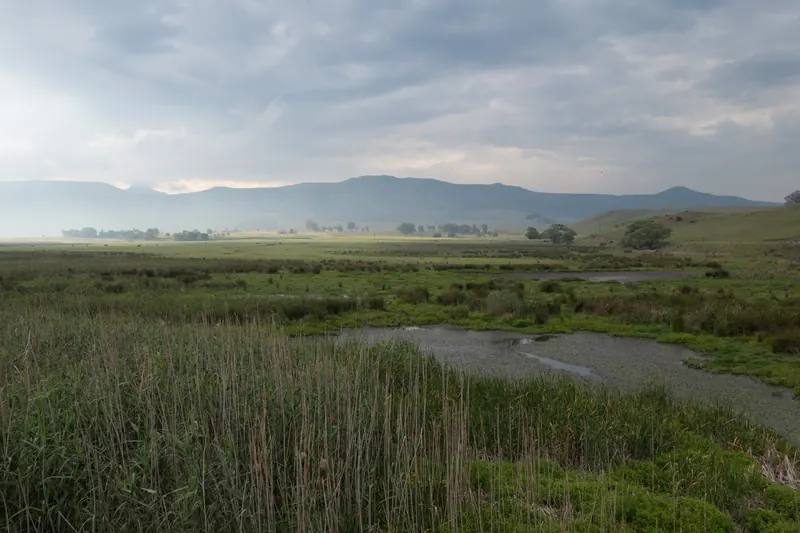
Reed beds and a slow river channel below low hills in the Wakkerstroom wetlands
The Wakkerstroom wetlands, about 2 km from the campEric Gropp · Wikimedia CommonsCC BY 2.0 · resized and cropped, converted to WebP
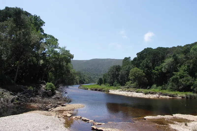
A clear river running over pebbles between forested banks near Nature's Valley
The Groot River near the rest camp at Nature's Valley, Garden Route National ParkNJR ZA · Wikimedia CommonsCC BY-SA 3.0 · resized and cropped, converted to WebP
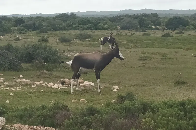
A bontebok grazing on green coastal fynbos in De Hoop Nature Reserve
Bontebok on the coastal plain of De Hoop Nature Reserve, about 2 km from the campsiteJosefito123 · Wikimedia CommonsCC BY-SA 4.0 · resized and cropped, converted to WebP
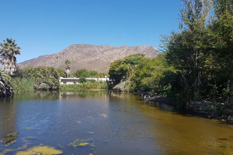
A small dam with reeds and palm trees below the mountains of Montagu
The Lei dam in Montagu, beside the farmGraham Bawden · Wikimedia CommonsCC BY-SA 4.0 · resized and cropped, converted to WebP
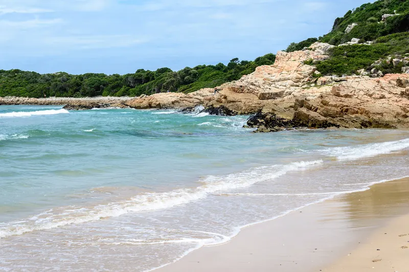
Waves washing onto a sandy beach below a rocky, bush-covered point near Keurbooms
The beach near the Keurbooms River mouth, Plettenberg Bay, about 1 km from the caravan parkdconvertini · Wikimedia CommonsCC BY-SA 2.0 · resized and cropped, converted to WebP
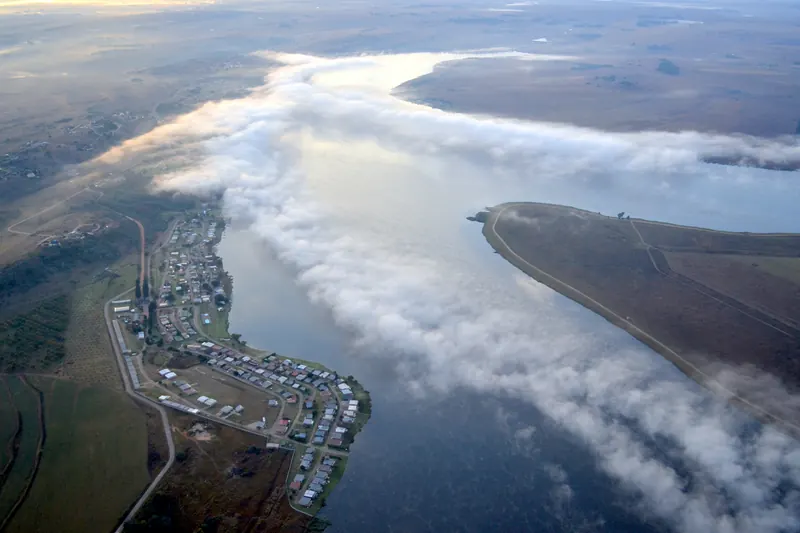
Aerial view of Bronkhorstspruit Dam with low cloud over the water and the shoreline
Bronkhorstspruit Dam from the air, about 3.5 km from the venuePaul Parsons (paulus.parsons@gmail.com) · Wikimedia CommonsCC BY-SA 3.0 · resized and cropped, converted to WebP
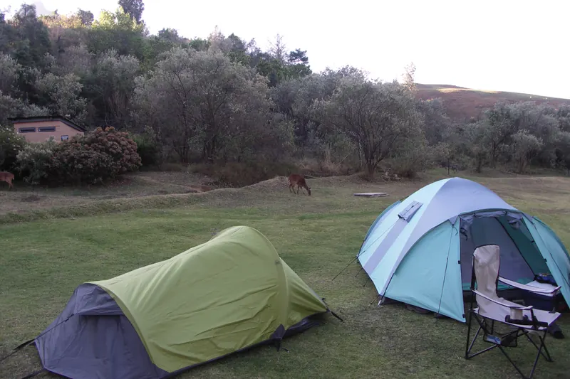
Two small tents and a camping chair on a lawn at Mahai campsite with sandstone cliffs behind
Tents on the lawns of Mahai campsite, Royal Natal National ParkNJR ZA · Wikimedia CommonsCC BY-SA 3.0 · resized and cropped, converted to WebP
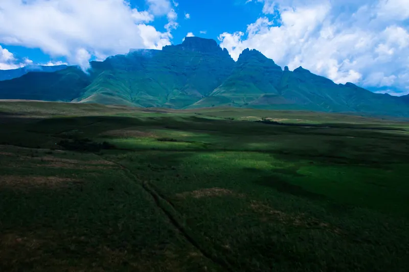
A jagged line of Drakensberg peaks above green grassland in the Monk's Cowl area
Cathkin Peak, Sterkhorn and the Turret in the Monk's Cowl area of the central DrakensbergSoaring Heights Imagery · Wikimedia CommonsCC BY-SA 4.0 · resized and cropped, converted to WebP
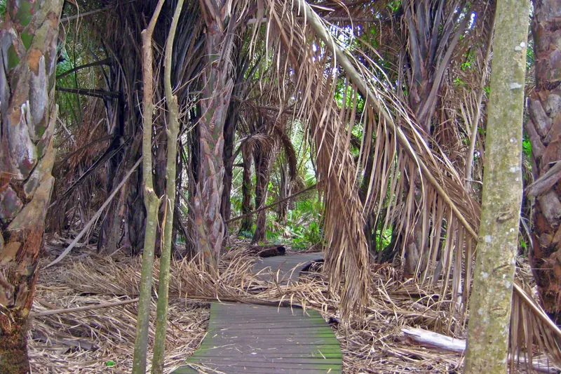
A wooden boardwalk through a dense grove of raffia palms at Mtunzini
The boardwalk through the raffia palm grove at Mtunzini, beside uMlalazi Nature ReserveJohsny · Wikimedia CommonsCC BY-SA 3.0 · resized and cropped, converted to WebP
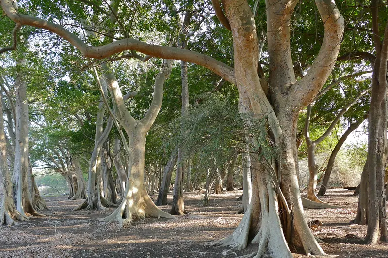
Pale-trunked fig trees forming a shady forest in Ndumo Game Reserve
Fig tree forest in Ndumo Game Reserve, MaputalandBernard DUPONT from FRANCE · Wikimedia CommonsCC BY-SA 2.0 · resized and cropped, converted to WebP
A wide sandy beach with a few walkers at the water's edge at St Lucia
The beach at St Lucia, about 1 km from Sugarloaf campsiteDarren Glanville from Acle, Norfolk, UK · Wikimedia CommonsCC BY-SA 2.0 · resized and cropped, converted to WebP